As of 6 a.m. on October 30, recorded water levels on major rivers were as follows: the Vu Gia River at Hoi Khach stood at 15.69 meters, 0.81 meters below alarm level 3, and at Ai Nghia at 9.88 meters, 0.88 meters above alarm level 3.
On the Thu Bon River, the water level at Nong Son reached 16.71 meters (1.71 meters above alarm Level 3); at Giao Thuy, 9.48 meters (0.68 meters above alarm level 3); at Cau Lau, 5.54 meters (1.54 meters above alarm level 3); and at Hoi An, 3.35 meters (1.35 meters above alarm level 3).
Meanwhile, the Han River at Cam Le measured 3.24 meters (0.74 meters above alarm level 3), and the Tam Ky River at Tam Ky stood at 2.74 meters (0.04 meters above alarm level 3).

According to forecasts, in the next 6 to 12 hours, floodwaters in the upper reaches of the Vu Gia–Thu Bon River system will continue to recede slowly, while levels in the lower reaches will peak before gradually declining. The Tam Ky River is also expected to crest and then subside slowly.
The flood peak on the Thu Bon River at Cau Lau is forecast to reach 5.65–5.7 meters, or 1.65–1.7 meters above alarm level 3—about 0.17–0.22 meters higher than the record flood of 1964. At Hoi An, the flood peak is expected to reach 3.45–3.5 meters, or 1.45–1.5 meters above alarm level 3, exceeding the 1964 flood by 0.05–0.1 meters. The Han River at Cam Le is forecast to crest at 3.4 meters, or 0.9 meters above alarm level 3, while the Tam Ky River will remain above alarm level 3.
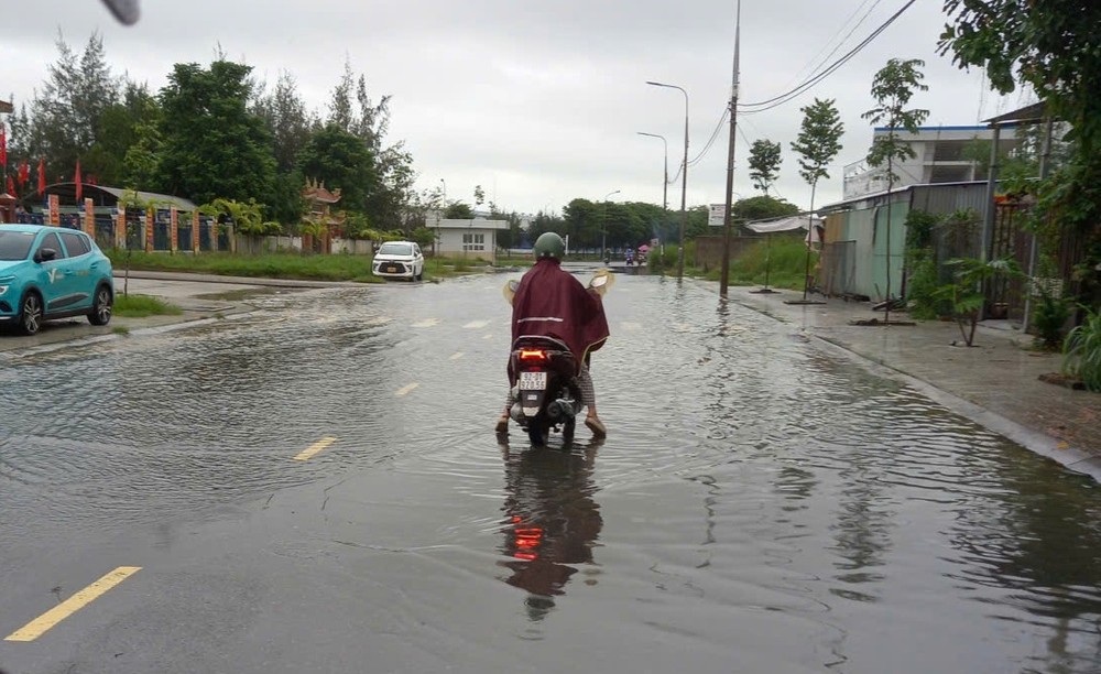
Field observations show that in Dien Ban Ward (Da Nang City), floodwaters have been rising slowly since early dawn. The water level has climbed so high that even though residents have lifted their belongings to elevated positions, many have still been inundated.
In Dien Ban Dong Ward, although the DT607 provincial road running through the area is relatively elevated, floodwaters have already risen to the edge of the road surface. The high water has also submerged the auxiliary gate of the Dien Nam–Dien Ngoc Industrial Park, forcing many workers to turn back and find alternative routes, as the floodwaters were too deep to cross.