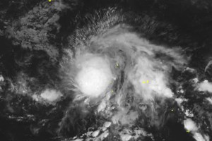
Bailu was located at around 680 kilometers from the Luzon Island yesterday afternoon with its violent winds of 60-90 kilometers an hour near the center.
The tropical storm is forecast to move northwestward at a speed of 20 kilometers per hour and is able to develop strongly.
By Friday afternoon, the dangerous zone is expected to be around 550 kilometers from Taiwan (China).
During the next 24- 48 hours, Bailu will continue moving northwestward, entering territorial water of Taiwan and marking landfall provinces of Fujian and Guangdong, China.
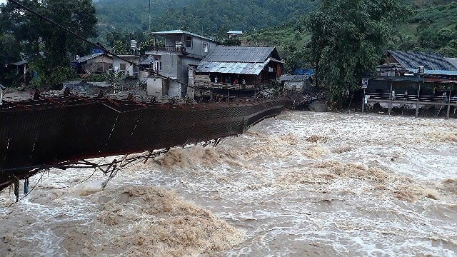
Although typhoon Bailu is not expected to enter the East Sea, its circulation will powerfully impact to operation of the southwest monsoon triggering extreme bad weather conditions of thunderstorm, cyclone, downpour and flash flood in the Southern, Central Highlands regions and southern territorial waters.
According to the Standing Office of the Central Steering Committee for Natural Disaster Prevention and Control, water levels at the Central Highlands region’s irrigation reservoirs reach at an average of 57-81 percent of the design capacity.


