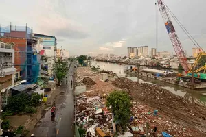
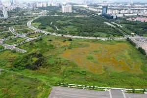
The western side of the Saigon River would give more land to public constructions and less to individual houses, according to a plan proposed to the Ho Chi Minh City People’s Committee Friday last week.
")
HCMC Department of Architecture and Planning has planned to develop the area, which spreads over parts of Districts 1, 4 and Binh Thanh from Saigon Bridge to Tan Thuan Bridge, into a new urban center, saying that the area plays a crucial part in the city’s urban development and beautification.
The plan, which was open for public contribution in 2008, divides the 250-hectare area into five sections, including the park 25 hectares at Bach Dang Wharf, and limits the total population at 31,200.
The limited population aims to save the most part of the area, with beautiful riverside views, for public constructions, said the department.
Most of the land near the river branch will be used for parks and the current street along the river, Ton Duc Thang, will be put underground to save space for pedestrians, it said.
The plan lowers house construction density near the riverside to 3 percent and sets building height between four and 230 meters. Constructions near the riverside have to be lower than those around traffic hotspots, it said.
Each block is going to have its own functional centers to reduce traffic burden.
For example, Tan Cang section in Binh Thanh District will be transformed into an area with houses, service and commercial centers, with a road from Nguyen Huu Canh Street going straight into the area center.
South Thi Nghe section, bordered by Nguyen Huu Canh Street, the Thi Nghe Canal and the Saigon River, will build houses and office buildings on the ground of the current golf course.
The plan will preserve two anchorages around Ba Son Shipping Yard as they are closely associated with the development of Saigon commercial port in the past. One anchorage was suggested for preservation by workers at Ba Son and another by Japanese construction designer Nikken Sekkei.
HCMC has signed a contract to develop the city center area with Nikkei after the corporation won first prize at a city international competition in 2007 over construction design ideas for the city center.
The city Architecture and Planning Department said a detailed plan on the area development will be finished by the end of this year.
Nguyen Thanh Tai, vice chairman of the city People’s Committee who the plan was proposed to, said the city authorities would respect any public ideas to develop the city for the sake of many generations to come.
A new urban zoning plan in traffic-overloaded HCMC Tourism approved by Prime Minister Nguyen Tan Dung last year envisioned extended eco-zones along the banks of the Saigon, Nha Be and Dong Nai rivers and in the Can Gio District mangrove forests.
The city also looks to establish four new socio-commercial hubs and six new districts alongside significant infrastructure development during the development through 2025.
The new main hub will extend to a radius of 15 kilometers, including the current downtown, officially recognized as districts 1, 3 and parts of 4 and Binh Thanh.
Industrial development will be concentrated in the six new districts as well as in Cu Chi, Hoc Mon, Binh Chanh and Nha Be districts.