The corridor comprises four expressway projects, including Ho Chi Minh City–Trung Luong, Trung Luong–My Thuan, My Thuan–Can Tho, and Can Tho–Ca Mau—along with My Thuan 2 Bridge and Can Tho Bridge.
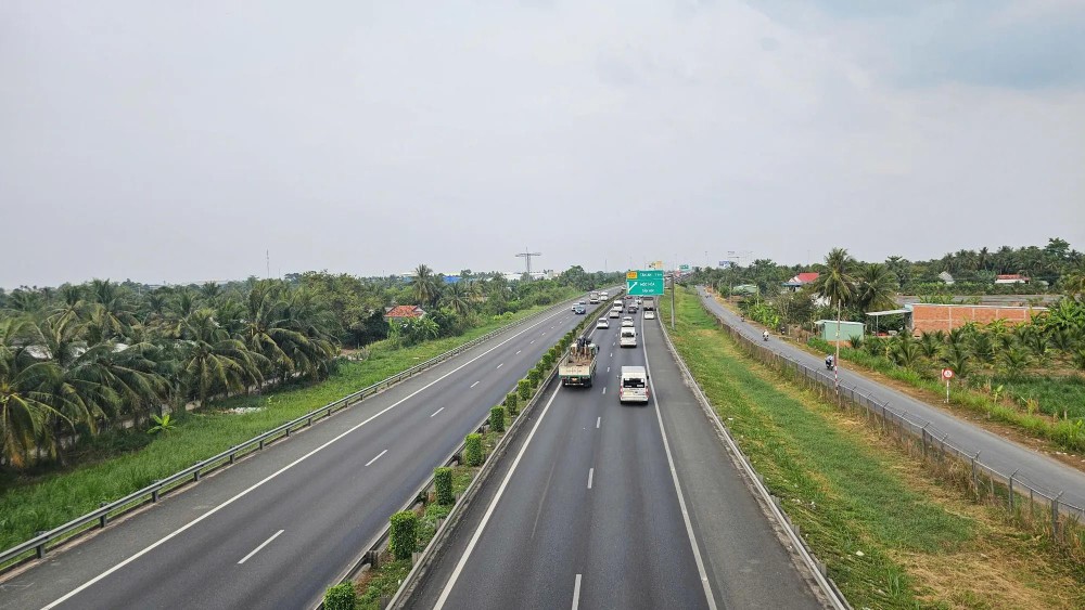
With the continuous connection of this backbone expressway, a long-standing transportation bottleneck in the region has been removed, reducing travel time from Ca Mau Province to Ho Chi Minh City to about 4.5 hours, down from nearly 10 hours previously. This development is seen as a particularly important catalyst, creating strong momentum and opening up significant opportunities for the Mekong Delta to accelerate its development in the coming period.

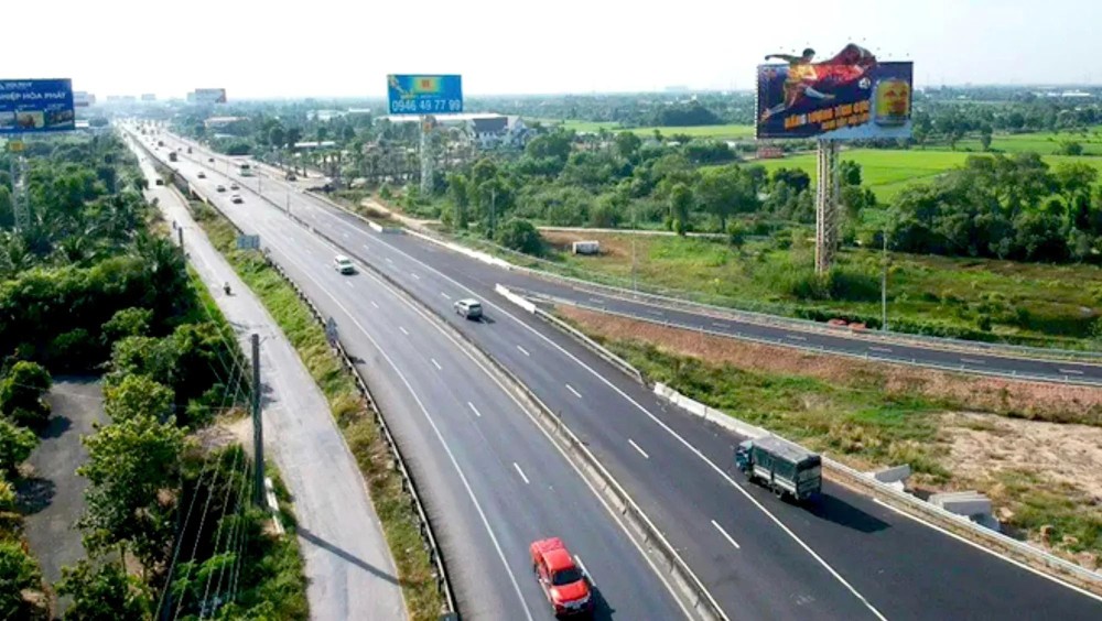
Construction of the Ho Chi Minh City–Trung Luong Expressway began on December 16, 2004, and the route was opened to traffic on February 3, 2010, with a total investment of more than VND9 trillion (US$342.6 million). The 62-kilometer expressway features four traffic lanes and two emergency stopping lanes, with a maximum speed limit of 100 km/h and a minimum of 60 km/h. It was the first state-invested expressway to operate under a toll-based cost recovery model, with toll collection starting on February 25, 2012. However, tolling was suspended on January 1, 2019, due to legal issues. The expressway runs through Ho Chi Minh City, Tay Ninh, and Dong Thap provinces.
The 51.5-kilometer Trung Luong–My Thuan Expressway was first kicked off in November 2009, with the then Ministry of Transport acting as the competent state authority. Initially, the project was designed with a 25.5–26.5-meter-wide roadway, accommodating four traffic lanes with a design speed of 120 km/h, along with two emergency lanes. The total investment was set at VND19 trillion (US$722.8 million), with completion originally scheduled for the second quarter of 2013.
However, by 2015, the project had stalled and could no longer proceed. It was relaunched later that year by a consortium of six investors, with a revised completion target of the second quarter of 2020. At that stage, the project adopted a build–operate–transfer (BOT) model, and the total investment was adjusted downward to VND14.678 trillion (US$558.2 million). In 2017, the investment capital was further reduced to VND9.668 trillion (US$367.7 million). After years of delays, by March 2019, only about 10 percent of the construction workload had been completed.
To accelerate progress, the Standing Government assigned the Tien Giang Provincial People’s Committee to act as the competent state authority for the project, replacing the Ministry of Transport. In addition, the investor consortium invited Deo Ca Group Joint Stock Company to take the lead in resolving outstanding issues and assume responsibility for construction.
The total investment in the Trung Luong–My Thuan Expressway was subsequently revised upward to VND12.668 trillion (US$482 million) and implemented under a public–private partnership (PPP) model, with VND2.186 trillion (US$83 million) provided from the state budget and the remainder financed through a BOT arrangement. The expressway currently allows a maximum operating speed of 90 km/h and a minimum of 60 km/h.


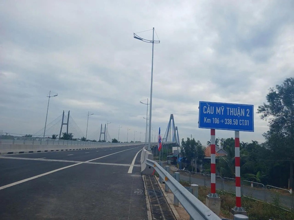
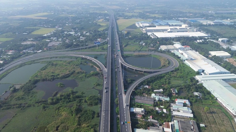
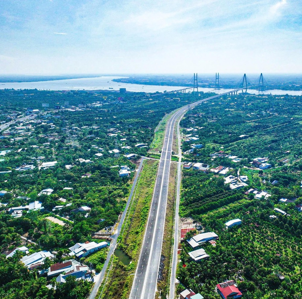
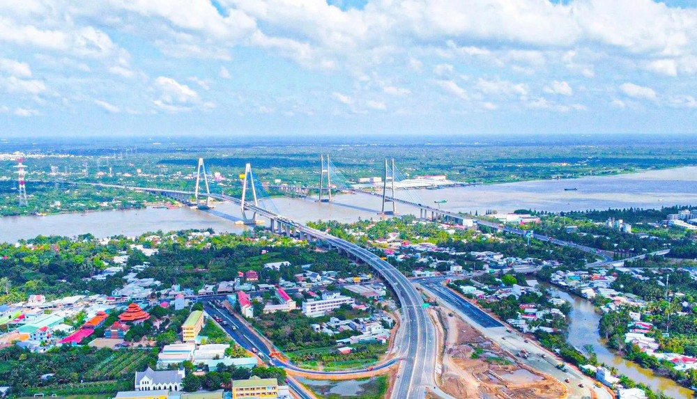
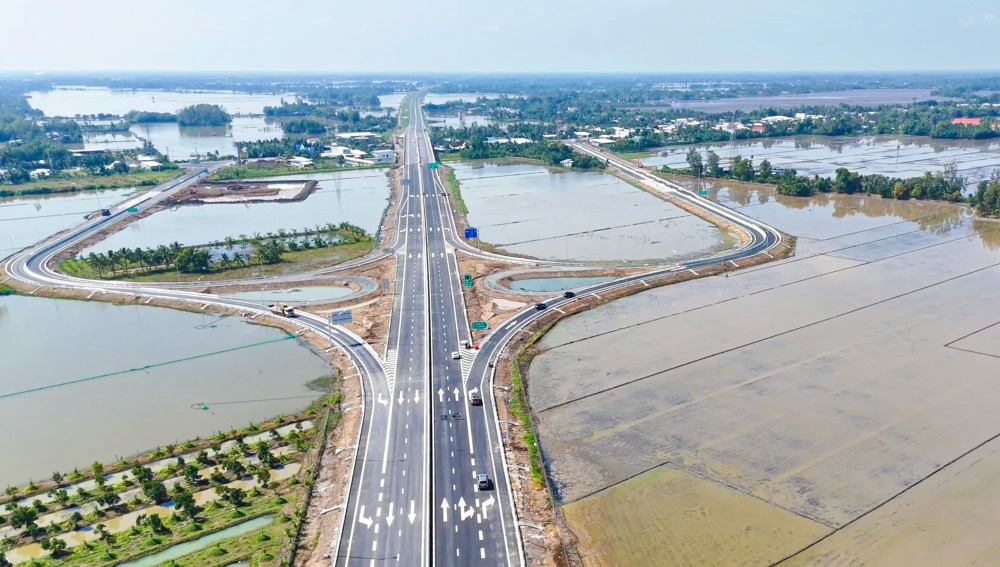
Construction of My Thuan 2 Bridge began in February 2020. With a total length of 6.61 kilometers, the project spans the Tien River, linking Dong Thap and Vinh Long provinces. Its starting point connects to the Trung Luong–My Thuan Expressway, while its endpoint links with the My Thuan–Can Tho Expressway.
The main bridge is approximately 1.9 kilometers long and is designed for six traffic lanes, with a design speed of 80 km/h. Approach roads on both sides total 4.7 kilometers in length, including 4.3 kilometers on the Dong Thap side and 0.4 kilometers on the Vinh Long side. In its initial phase, the bridge operates with four lanes. The total investment for the project of My Thuan 2 Bridge is estimated at around VND5 trillion (US$190.4 million).
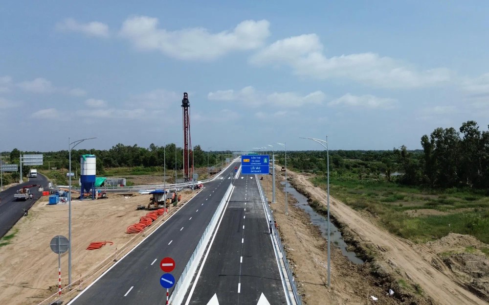
The 23-kilometer My Thuan–Can Tho Expressway runs through Vinh Long and Dong Thap provinces. Construction began in January 2021, and the route was completed and opened to traffic on December 15, 2023. In its fully developed phase, the expressway will have six lanes with a design speed of 100 km/h. Under the initial investment phase, the road operates with four lanes and a maximum design speed of 80 km/h. The project has a total investment of more than VND4.8 trillion (US$183 million), funded entirely from the state budget.
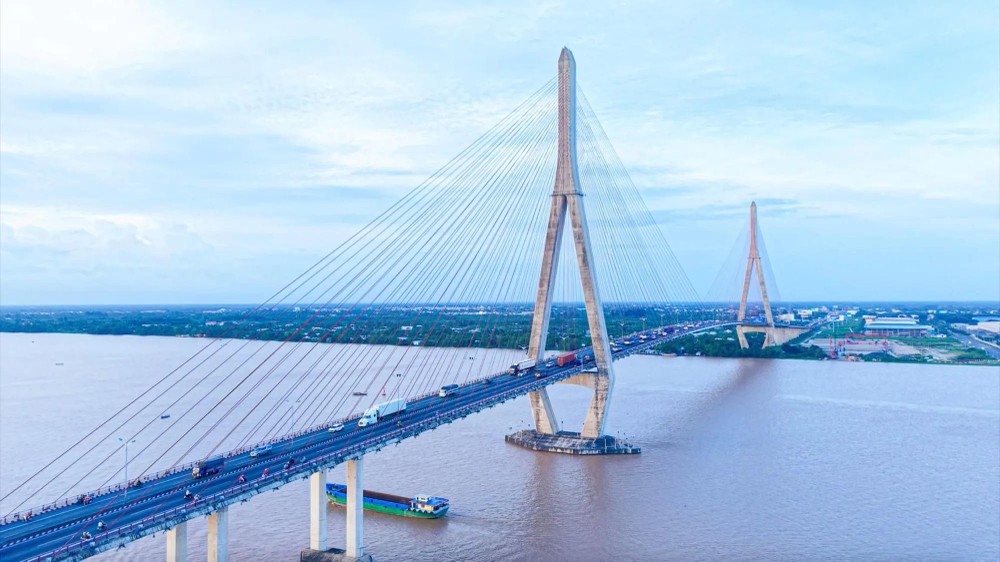
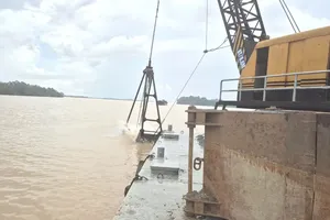
Construction of Can Tho Bridge began on September 25, 2004, with completion originally scheduled for late 2008. However, on September 26, 2007, the collapse of two approach spans forced construction to be suspended for a period. The main bridge was eventually closed on October 12, 2009, reconnecting the two banks of the Hau River.
The entire project stretches 15.85 kilometers. The main bridge spanning the Hau River links Vinh Long Province with Can Tho City and measures 2.75 kilometers in length and 23.1 meters in width. It comprises four lanes for automobiles and two lanes for motorcycles, with a design speed of 80 km/h. Each traffic lane is 3.5 meters wide, accompanied by two pedestrian sidewalks, each measuring 2.75 meters. The bridge provides a navigation clearance of 39 meters, allowing vessels of up to 10,000 deadweight tons (DWT) to pass beneath.
Since entering operation, Can Tho Bridge has eliminated the need for vehicles and goods to rely on ferry crossings that previously took 20 to 30 minutes, or much longer during peak holiday periods due to congestion. While the Can Tho 2 Bridge project is expected to break ground in 2026, the existing Can Tho Bridge currently serves not only as part of National Highway 1 but also as a critical link in the Mekong Delta’s north–south expressway corridor.

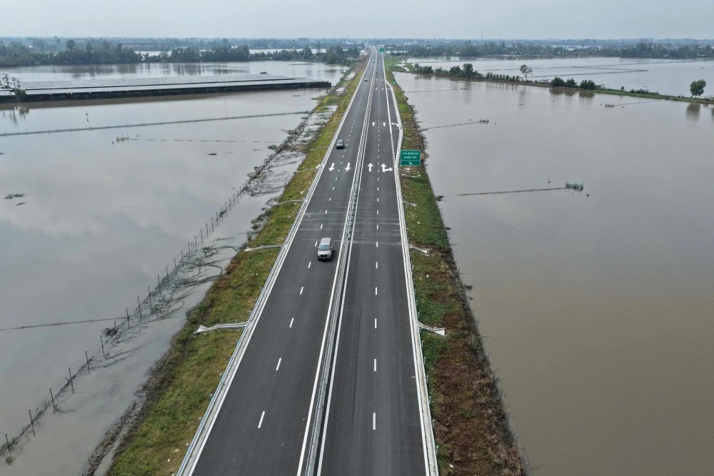
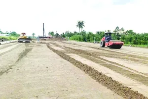
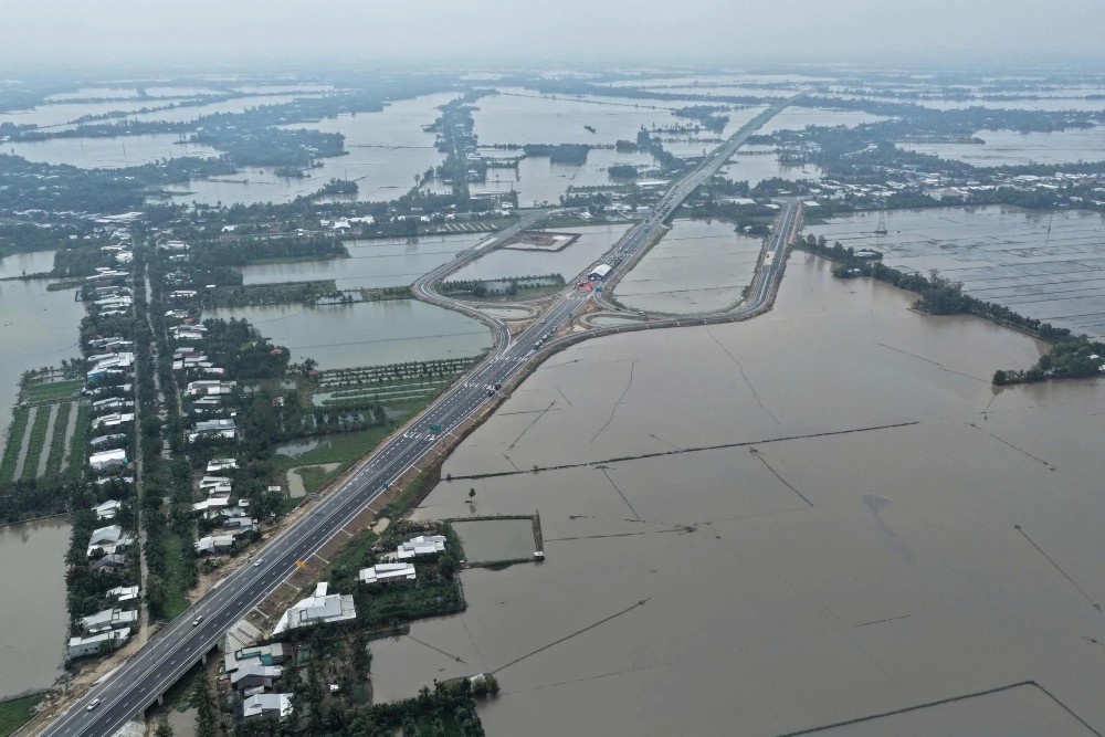
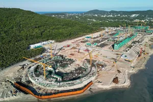
Construction of the Can Tho–Ca Mau Expressway began on January 1, 2023. The project has a main route length of 110.85 kilometers and is being developed by the My Thuan Project Management Board as the investor. Designed as a four-lane expressway, it carries a total investment of VND27.523 trillion (US$1.047 billion).
The Can Tho–Ca Mau Expressway is divided into two component projects, including the Can Tho–Hau Giang section, which was opened to traffic on December 22, 2025, and the Hau Giang–Ca Mau section, which officially entered operation from midday on January 19, 2026. The expressway allows a maximum operating speed of 80 km/h and a minimum of 60 km/h.
On December 19, construction began on the expansion of the Ho Chi Minh City–Trung Luong–My Thuan Expressway under a public–private partnership (PPP) model. With a total investment of more than VND36 trillion (US$1.4 billion), the 96-kilometer project is scheduled for completion in 2028. Designed for operating speeds of 100–120 km/h, the expanded expressway is expected to ease congestion at Ho Chi Minh City’s western gateway and strengthen regional connectivity.
The project is divided into three sections, including the Ho Chi Minh City–Trung Luong section, which will be fully developed to 10–12 lanes, with eight lanes built in the initial phase and a design speed of 120 km/h; the Trung Luong–My Thuan section; and the connecting stretch to My Thuan 2 Bridge, which will be expanded to six lanes, with a design speed of 100 km/h.


)