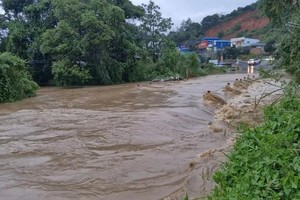
Several roads hit by landslides
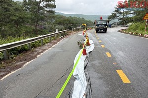
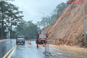
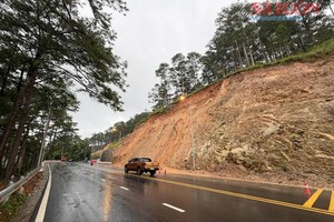
In Muong Tip Commune, Nghe An Province, on the morning of August 8, rocks and soil suddenly slid from a mountainside onto Provincial Road 543D in Xop Tip Village, disrupting traffic. The commune police, in coordination with the commune People’s Committee and relevant forces, mobilized vehicles to clear the debris. The road was reopened to traffic nearly five hours later. However, as the area remains at high risk of further landslides, authorities have continued to deploy personnel to monitor the site and warn residents.
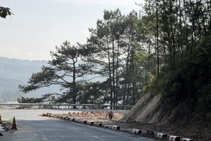
Along the coastal defense road linking Cam Trung and Ky Xuan communes in Ha Tinh Province, several sections run alongside steep, high mountainsides where soil and rocks have been eroded and undercut. Large loose rocks embedded in the soil are at risk of rolling onto the road. At several locations where landslides have previously occurred, concrete retaining structures have been damaged and buried under soil and rocks.
Tran Van Thanh, a resident of Cam Trung Commune, said landslides frequently occur along the road, particularly during the rainy season. In some cases, it takes several days to clear the debris and restore traffic, leaving the road cut off.
According to Le Hong Linh, head of the Economic Division of the Cam Trung Commune People’s Committee, the coastal defense road is about 5 kilometers long. Since 2024, landslides have occurred at 11 locations along the route, caused by large loose rocks embedded in weak sandy-clay soil.
Local authorities have repeatedly cleared debris and temporarily reinforced the mountain base with rows of rocks, but new landslide sites continue to emerge.
A comprehensive solution would require substantial funding beyond the local authority’s capacity. Under the 2026-2030 medium-term public investment plan, the province will invest in upgrading the road and reinforcing slopes at landslide-prone locations. In the immediate term, when adverse weather is forecast, local authorities will install barriers and warning signs, deploy personnel at both ends of the road, and prohibit people and vehicles from passing through.
In the area around Truot Waterfall, upstream of the Ta Trach River in Khe Tre Commune, Hue City, many households are concerned as riverbank erosion has deepened. At some locations, landslide sites are only a few meters from residential homes.
“At night, whenever we hear the sound of soil and rocks falling, we become extremely anxious and cannot sleep. We hope the authorities will soon arrange a resettlement area so that we can live somewhere safe and rebuild our lives with long-term stability,” said Nguyen Long Thanh, a resident of Phu Xuan Village, Khe Tre Commune.
At present, 92 households across the commune remain in areas at high risk of landslides and need to be relocated to resettlement areas.
In the Choi Mountain area of Ky Anh Commune, Ha Tinh Province, numerous cracks and subsidence have formed deep trenches measuring 1-3 meters wide and stretching dozens of meters along the mountainside. Ky Anh Commune has installed danger warning signs at both ends of the Dong-Trung road section passing through the foot of Choi Mountain while coordinating with relevant agencies to conduct inspections and surveys and develop a response plan.
Chairwoman of the Ky Anh Commune People’s Committee, Duong Thi Van Anh, said that if weather conditions deteriorate before mitigation measures can be implemented, the local authorities will proactively prepare a plan to close the road to ensure residents’ safety.
Residents evacuated from high-risk areas
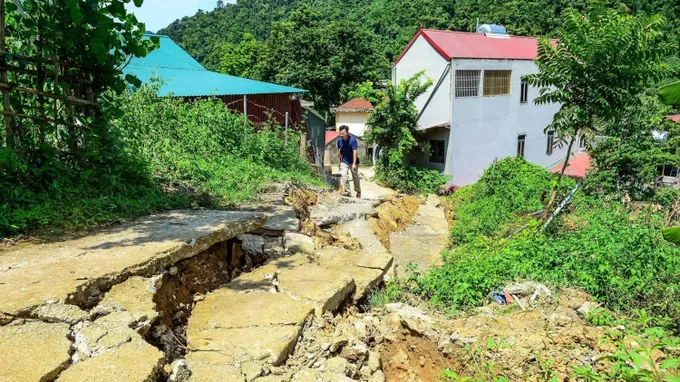
At the residential area in Thanh Son Village, Quan Son Commune, Thanh Hoa Province, severe landslides and ground subsidence occurred from August 5 to 8. A major crack measuring about 100 meters in length appeared on the ground, with some sections sinking 1.5-2 meters deep. The cracks ranged from 20 centimeters to 1 meter wide. In recent days, the cracks have continued to widen.
Some houses have been affected by shifting soil and rocks, with walls cracking and breaking, while signs of damage have appeared in their floors and foundations. Several road sections have also developed cracks, subsided, and become deformed.
According to the chairwoman of the Quan Son Commune People’s Committee, Vi Thi Trong, cracks and landslides in Thanh Son Village continue to expand and have developed in a complex manner, with increasingly large volumes of soil and rock subsiding. The commune has yet to determine the level of geological and topographical risks in the area.
As an immediate measure, the commune has helped residents dismantle and move their belongings and evacuated 17 households, comprising 60 people, to the Thanh Son Village Cultural House and official residences of several agencies. The local authorities have also cordoned off the area, erected barriers, installed warning signs, and restricted access to landslide-prone areas.
Amid landslides occurring in several areas, residents are calling on competent authorities to promptly conduct comprehensive assessments of the risks, identify high-risk areas, and proactively prepare response, warning, and evacuation plans when necessary. In areas facing high landslide risks, arrangements for new accommodation for residents should also be considered at an early stage to avoid being caught off guard when landslides occur.