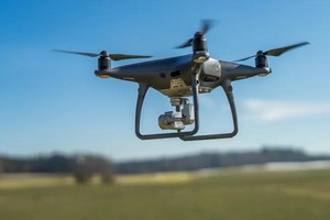
Police in several communes and wards in Ho Chi Minh City have warned residents against flying kites, operating flycams, drones and UAVs, or using high-powered lights and laser beams in prohibited or restricted flight areas, particularly around Tan Son Nhat Airport.
Many communes and wards in prohibited flight zones
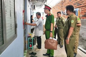
The Tan Vinh Loc Commune Police have notified Party secretaries and heads of hamlets in the area, asking them to step up public awareness campaigns so residents understand regulations on the management and use of unmanned aerial devices, ultralight aircraft and kite flying.
Tan Vinh Loc Commune lies entirely within a prohibited flight zone, but many residents remain unaware that flying kites or operating flycams, UAVs and other devices within the flight safety corridor constitutes a violation of the law. Arbitrary use of unmanned aerial devices, ultralight aircraft or kites in prohibited or restricted flight areas can affect aviation safety and lead to legal liability.
The Vinh Loc Commune Police have also issued a warning on compliance with regulations governing the use of aerial devices. Vinh Loc Commune is currently located in a prohibited flight area, meaning organizations and individuals may not operate aerial devices without authorization from competent authorities.
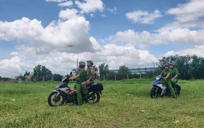
Through monitoring and patrols, the Vinh Loc Commune Police have detected and documented several cases of people using aerial devices for filming and photography without authorization.
Similarly, the Dong Hung Thuan Ward Police have issued an urgent notice on ensuring absolute safety for flights at Tan Son Nhat Airport.
According to the notice, Dong Hung Thuan Ward is an area where flying objects are prohibited to ensure absolute safety for flights in the Tan Son Nhat Airport area. The regulation applies to all residents, agencies, organizations and business households in the area.

The Dong Hung Thuan Ward Police warned that activities that could compromise flight safety include operating flycams, drones or other unmanned aerial devices; flying kites; and shining high-powered lights or laser beams.
Local police warn of heavy fines for unauthorized drone flights
According to the Vinh Loc Commune Police, filming or taking photographs from the air using an unmanned aerial device without authorization from a competent authority may result in a fine of VND8 million to VND9 million (US$306 to US$345).
Conducting a flight without a flight permit issued by a competent authority may be subject to a fine of VND20 million to VND30 million.
In particular, operating a flycam in a way that obstructs or compromises aviation safety can lead to significant penalties, with fines ranging from VND30 million to VND40 million. In cases of more severe infractions, authorities may also impose stricter measures, including the confiscation of equipment or vehicles directly involved in the violation.
Police in several communes and wards have urged residents, agencies and organizations to carefully study the regulations before using flycams, drones, UAVs or flying kites, and to never operate them without authorization in prohibited or restricted flight areas.
When detecting activities involving flying objects, high-powered lights, laser beams or suspicious behavior that could affect flight safety, residents should promptly notify the police for inspection and handling.
Under Decision No. 18/2020/QD-TTg, the prohibited flight zone around airports with two or more runways, such as Tan Son Nhat, extends 15,000 meters in both directions and is 5,000 meters wide on each side, at all altitudes. The adjacent area is a restricted flight zone, extending an additional 3,000 meters in width and 5,000 meters in length, applicable to flights below 120 meters.
Under Decree No. 282/2025/ND-CP, operating an unregistered or unauthorized unmanned aircraft or ultralight aircraft, or flying in violation of regulations, may result in a fine of VND2 million to VND3 million.
Police in all communes and wards noted that prohibited and restricted flight zones are determined according to the scope and boundaries shown on official maps, rather than simply by the names of communes or wards.