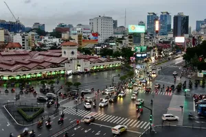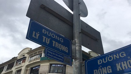
At the moment, the city’s Transport Department is piloting this program in District 1, at 6 intersections between Le Thanh Ton St. - Dong Khoi St., Le Thanh Ton St. - Pasteur St., Ly Tu Trong St. - Pasteur St., Ly Tu Trong St. - Dong Khoi St., Nguyen Du St. - Dong Khoi St., Le Duan St. – Cong Xa Paris St.
In order to look up street information, people first need to download one QR Scanning app like QR Code Reader or QR Scanner. Some newer versions of smart phones have already had this function installed.
After this application setup, users can open the software and capture the QR code put under each street sign for corresponding reference such as street length, width, number of lanes, and past names, along with those historical figures’ biographies.
These pieces of information are provided by HCMC Department of Culture & Sports, and updated regularly by the Transport Department. They will be sent to users’ smart devices as a picture (with the extension .jpg).
To publicize the new feature, HCMC Transport Department requested that the city’s Department of Culture & Sports and Department of Tourism, HCMC People’s Committee help to spread the good news to related state units and offices, the press, and residents.
The Transport Department is also collecting feedback from the public regarding the matter via formal written documents, the 1022 hotline, the city’s transport portal, its official website, and its Fanpage until November 10, 2020.


