")
Speaking at a recent meeting, Nguyen Thi Anh Hoa, Director of the Department of Tourism, discussed the city’s vision for a comprehensive tourism development strategy aimed at 2030.
The city will hold a conference to unite the local tourism community around two principal initiatives: the establishment of the Can Gio National Tourism Area and the enhancement of the National Tourism Area along the Saigon River.
Feedback is being solicited from various departments to present to the municipal People's Committee and People's Council, according to Director of the Department of Tourism Nguyen Thi Anh Hoa.
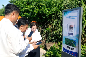
The collaborative effort aims to facilitate the formulation of supportive policies to attract a greater number of visitors, train tour guides for diverse markets, and intensify promotional activities.
The team is also engaging with experts to devise innovative policies that foster regional cooperation, promote sustainable tourism practices, and utilise special mechanisms in order to realise these initiatives.
As part of its tourism strategy by 2030 with a vision to 2045, Vietnam has identified 61 potential sites for national tourism development, including Can Gio.
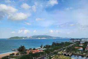
The city recently announced plans to attract nearly $9 billion in private investment to transform Can Gio into an ecological urban area. The People's Committee has already approved the Can Gio coastal urban development project covering 2,870 hectares.
Situated close to the Can Gio Mangrove Biosphere Reserve, the project will encompass Long Hoa Commune and Can Thanh Town, near the Xoai Rap and Long Tau rivers, and various popular tourist attractions. It aims to generate 25,000 jobs and accommodate 230,000 residents through four subdivisions, which will include resorts, a smart city, and residential areas.
The planning phase is projected to take six months, followed by 11 years of implementation and 50 years of operational oversight.
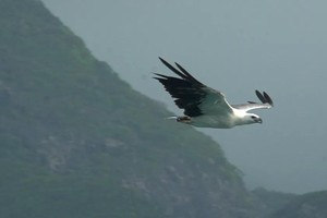
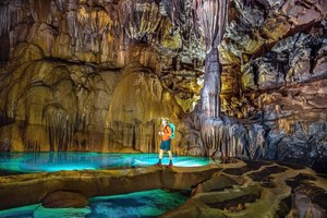
Can Gio, characterised by its 13-km coastline and extensive mangrove forests, is poised for significant growth in the eco-tourism and resort sectors. Located 40km from the city center, it spans over 70,412 hectares, incorporating more than 33,000 hectares of mangroves recognised as a UNESCO biosphere reserve.
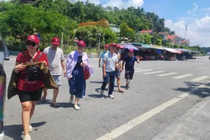
Despite limited ferry access, plans for new bridges are underway to enhance connectivity and stimulate tourism, which has already seen a 50 percent annual increase, with a target of 8.9 million visitors per year.
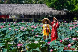
As the city’s only coastal area, Can Gio District features key tourist sites such as Monkey Island, Vam Sat Ecological Tourist Area, and Sac Forest. Can Gio also hosts the annual Nghinh Ong (Whale Worshiping) Festival, recognised as a National Intangible Cultural Heritage.

Riverside tourism
In addition, the city also plans to build 42 parks along the Saigon River to boost green spaces, economic growth, residents' quality of life, as well as to attract tourists.
The initiative is part of the city's vision for a riverside tourism economy by 2045, covering areas such as Thu Duc City and Districts 1, 4, 7, and 12.
The project will integrate multifunctional green infrastructure to improve connectivity and align with the city's master plan.
The plan, which is grounded in expert consultations and research, will be implemented in phases and coordinated with riverside infrastructure across various regions.
The Saigon River stretches 256km, originating in Binh Phuoc Province and flowing through Tay Ninh, Binh Duong, and Ho Chi Minh City.
Within HCMC, the river spans over 80km, meandering through urban areas and forming significant peninsulas, including Thanh Da and Thu Thiem.
The city is home to over 400 parks, yet only 500 hectares of green space, which translates to a mere 0.55 square meters per person for its over 10 million residents.