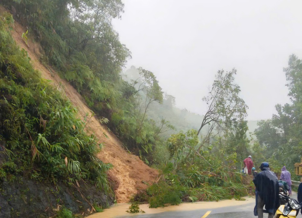
In Khanh Hoa Province, authorities recorded at least 12 landslides along Ngoan Muc Pass (National Highway 27), rendering the entire route impassable. According to the Lam Son Commune People’s Committee, continuous downpours caused large volumes of soil, rocks, and fallen trees to cascade onto the pass, blocking all traffic. Local forces have erected warning signs and temporarily banned all vehicles from entering the area, as additional landslides remain highly likely.

Chairman Dinh Van Tri said recovery efforts are underway, but the sheer amount of debris means clearance will take considerable time.
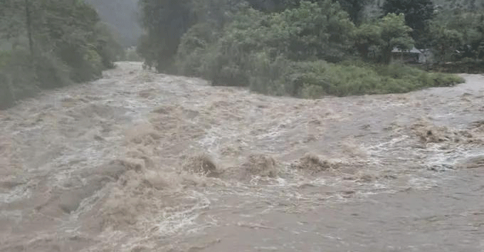
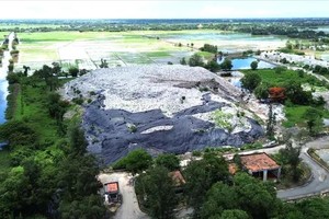
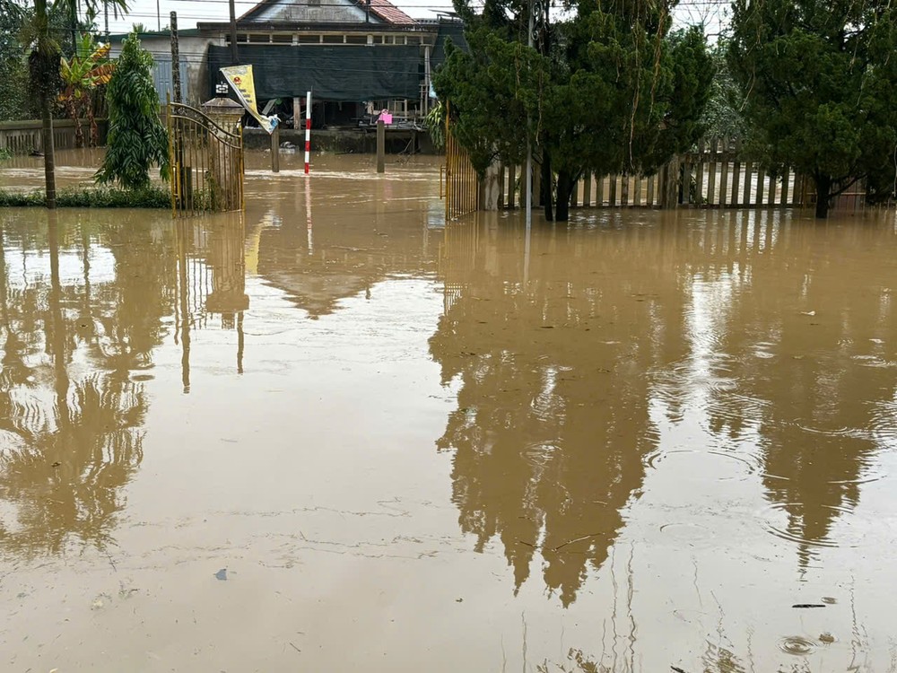
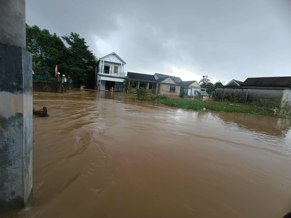
Prolonged heavy rainfall, combined with upstream floodwaters, has caused severe flooding in Du Long Industrial Park and swept away the wooden Phu Kieng Bridge over the Cai River in Khanh Hoa Province.
Ms. Ha Thi Hoa, Director of Du Long Industrial Park (Thuan Bac Commune), reported that water levels in the park reached 0.7–1 meters by noon on November 17, forcing all 5,000 workers to stop work. Local authorities and emergency teams are helping companies relocate equipment and assets to safer areas, while electricity and water have been temporarily cut to ensure safety.

In Tay Nha Trang Ward, floodwaters submerged multiple streets, and Phu Kieng Bridge was destroyed by floodwaters. Authorities have stationed personnel on both sides of the bridge to warn residents and prevent accidents.

Meanwhile, landslides occurred along Provincial Road 9 and Luong Son Pass on Pham Van Dong Street, with soil and rocks spilling onto roadways. Several other areas in Bac Cam Ranh, Nam Cam Ranh, and Khanh Son Commune experienced localized flooding.

According to the Khanh Hoa Hydrometeorological Station, rainfall on November 17 ranged from 100–150 mm, with some areas exceeding 200 mm. The heaviest rain concentrated in the south of the province before moving north. Flood levels on the Cai River are expected to peak within 7–12 hours, reaching near or above alarm level 3 at monitoring stations, while other rivers and streams could rise to alarm levels 2–3. Authorities continue to monitor waterways and urge residents to stay vigilant and avoid flooded and unstable areas.
In Quang Ngai Province, heavy rain also collapsed Nuoc Bao Bridge in Son Ha Commune on the morning of November 17, cutting off 288 households—with 1,212 residents—in Mang Na and Nuoc Nao hamlets. A three-meter section of the bridge, including its abutment, was swept away by floodwaters. With water levels on the Nuoc Bao stream still rising and debris continuing to flow downstream, local authorities are urging residents to keep away from the damaged area.


Elsewhere in Quang Ngai, a tornado struck Nguyen Nghiem Commune around 1 a.m. on November 17, ripping the roofs off five homes and toppling several power poles. Emergency crews are assisting affected families as the province continues to experience moderate to heavy rain, with torrential rain in some areas. The provincial hydrometeorological station warns of a high risk of flash floods on small rivers and streams, as well as landslides and ground subsidence in mountainous areas over the next six hours.
Heavy rainfall combined with controlled releases from upstream reservoirs has caused localized flooding in low-lying areas of Hue City, while landslides on Ho Chi Minh Road and National Highway 49 have disrupted traffic.
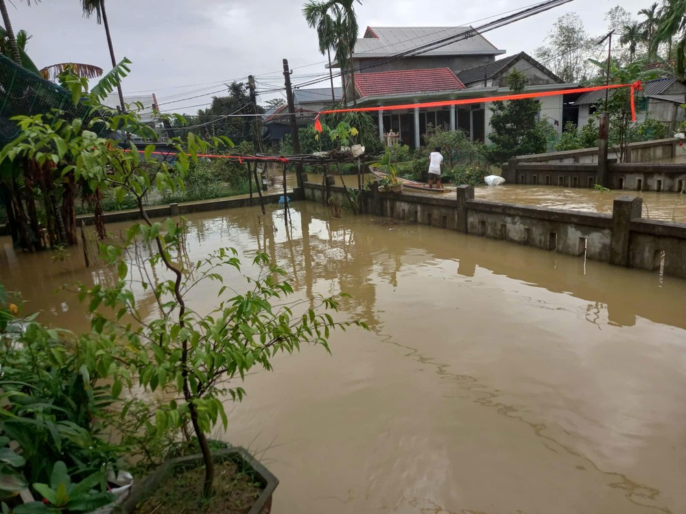

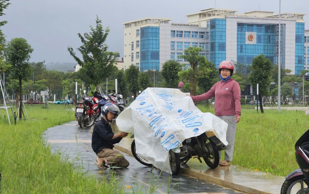
The Hue City Civil Defense Command activated warning sirens at the administrative center on the morning of November 17, in Vy Da Ward, urging residents to take precautions as the Huong and Bo rivers rose rapidly, with water levels forecast to surpass alarm level 3. Although rain eased over the plains, reservoir releases maintained significant water flow, submerging streets in central wards, such as Hoa Chau, Phu Xuan, and Vy Da, under 0.2–0.4 meters of water. At the Da Dam area in Thuan Hoa Ward, authorities closed the road and prohibited vehicle passage. Other flooded streets include Hoang Lanh, Vu Thang, and Bui Thi Xuan, forcing residents to move vehicles to higher ground.

The Department of Education and Training announced school closures in low-lying areas, while schools on higher terrain continued normal classes.

Hue Road Management and Construction Joint Stock Company mobilized personnel and machinery to clear landslide debris on National Highway 49 and the western branch of Ho Chi Minh Road. Along the western branch of Ho Chi Minh Road, six landslide sites have dumped approximately 1,050 cubic meters of soil and rocks onto the roadway, with six additional points submerged between Km342+100 and Km345+500 in A Luoi Commune.

On National Highway 49, five locations remain blocked by landslides, including two major sites with roughly 2,000 cubic meters of debris yet to be cleared.