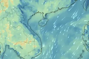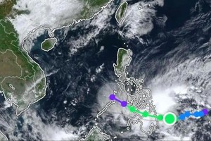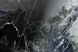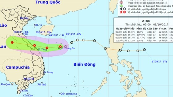
At 4m today, the storm was centered at 20.6 degrees north latitude and 110.2 degrees east longitude of the Leizhou Island (China), at around 270 kilometers of the east- northeastward of the Bach Long Vi Island with its maximum wind of 75- 100 kilometers per hour.
By 4pm, its eye is estimated to be at 19.8 degrees north latitude and 108.9 degrees east longitude, at 130 kilometers of the east- southeastward of the Bach Long Vi Island. The strongest wind near the center will blow 40-60 kilometers an hour.
The dangerous zone will parallel at 17.0 degrees north latitude and 112.0 degrees east longitude within next 24 hours.
The tropical depression is predicted to move the south- southwestward at 5-10 kilometers an hour and continue weakening into a tropical- low pressure zone.
By 4am tomorrow, the tropical- low pressure zone will be located at 18.2 degrees north latitude and 107.8 degrees east longitude of the south- Gulf of Tonkin with its powerful wind of level 6.
Because of an influence of the typhoon and cold front, the Gulf of Tonkin including Bach Long Vi Island will suffer strong wind of level 6-10 and sea rough.
The central territorial waters from Quang Tri to Quang Ngai provinces including islands of Hon Ngu, Cham and Ly Son will see wind of level 6-8 and sea rough.
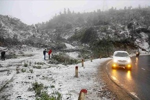
The storm circulation in combination with strong operation of cold spell have caused medium- heavy rains in the northern and north- central provinces with total rainfall of 50-100 mm.
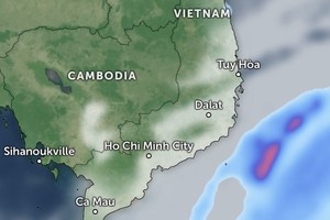
Because of an impact of the southwest monsoon, the mid and south- East Sea including the Spratly Island, the southern territorial waters from Binh Thuan to Ca Mau, provinces from Ca Mau to Kien Giang provinces have experienced strong wind of level 5-9 and sea rough.

