The strongest winds near its center was estimated at 40 to 60km per hour (level 6-7).
In the next 24 hours, low-pressure system will move eastward at speed of 5km per hour and then develop into a storm.
On August 13, at 13pm storm will center at 20.8 degrees north latitude; 113.0 degree east longitute on the south part of Guangdong Province (China).
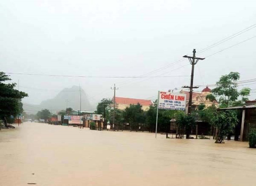
Due to the impact of storm, on August 14 and 15 heavy rains will continue hitting the northern region. From August 15 to 17, the northern and north central provinces will experience prolonged rains.
The maximum rainfall will be able to reach 250 to 350mm.
Besides, tonight and tomorrow, the areas in middle and south part of the East Sea (including Truong Sa Archipelago) and the sea areas from Binh Thuan to Ca Mau continue to see southwest winds at a maximun speed of level 6, high waves at 2 -4m, rough seas.
Heavy rains, thunderstorms, whirlwinds also will hit the Tokin Gulf, the sea areas from Binh Thuan to Ca Mau and Ca Mau to Kien Giang.


