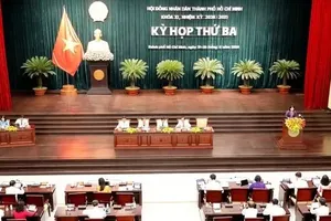
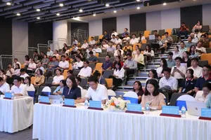
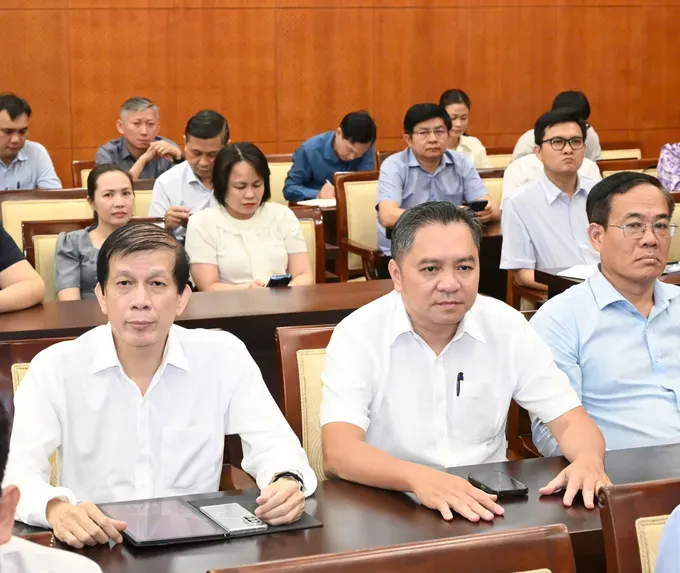
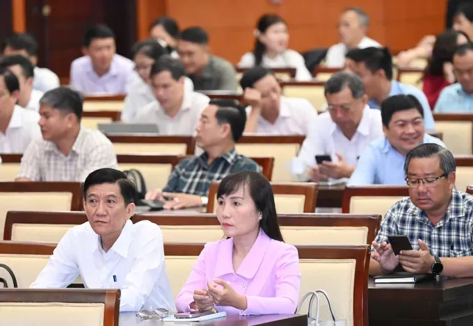
The Standing Committee of the Ho Chi Minh City Party Committee on August 7 held a conference to carry out the resolutions adopted at the third plenum of the 14th Party Central Committee. The working session was held in both in-person and online formats.
At the conference, Vice Chairman of the Ho Chi Minh City People's Committee Nguyen Manh Cuong presented a draft action plan to implement Resolution No. 21-NQ/TW on revising the Land Law and related legislation.
The city has set clear targets and timelines to put the resolution into practice and maximize land resources for socio-economic development.
Under the plan, Ho Chi Minh City aims to complete a digital database for all land parcels with available information by 2026. By 2027, it expects to complete cadastral surveys, cadastral records and land databases for areas where such data are still unavailable.
By 2030, the city plans to establish, standardize and operate a unified land database covering its entire jurisdiction. Cadastral and land registration records will be fully digitized, regularly updated and integrated with national databases on population, planning, taxation, notarization, finance, banking and other specialized sectors.

Vice Chairman Nguyen Manh Cuong said that the city will continue streamlining administrative procedures, standardizing workflows and strengthening decentralization while improving oversight to build a more transparent, efficient and service-oriented public administration.
The city will also expand the use of artificial intelligence (AI), big data, geographic information systems (GIS) and remote sensing technologies in land-use planning, registration, valuation, monitoring and inspection, while developing analytical and forecasting tools to support policymaking.
At the same time, Ho Chi Minh City will expand digital public services and publish land-use plans, land prices, legal status information and the processing progress of land-related applications on digital platforms, laying the foundation for a real-time, data-driven smart land governance system.
The city also plans to establish a Smart Land Governance Operations Center by 2027, integrating land data with planning, investment, construction, transport, population, finance, taxation and environmental databases. Information technology will also be applied to receiving citizens, handling land-related disputes, complaints and denunciations.
At the same time, the city will review and classify longstanding land-related issues, including those involving state farms and forestry land, public land and property, land associated with equitized or divested state-owned enterprises, delayed projects, relocated facilities and multi-purpose land use. It will develop transparent roadmaps for resolving these cases while distinguishing matters under the city's authority from those requiring central government action.