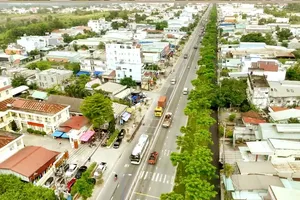
The Ho Chi Minh City Department of Construction sent an urgent request to its counterparts in Dong Nai, Tay Ninh, and Lam Dong provinces, seeking coordinated reviews and feedback on proposed routes for several major interregional transport corridors, on Sep 8.
The proposals form part of the city's preparation of its master plan for 2025-2050, with a 100-year vision.
Based on development orientations for the Southeast region and directions from city leaders, transport authorities are reviewing and proposing additions to the external transport network to improve regional integration and support the growth of urban areas, industry, services and logistics.
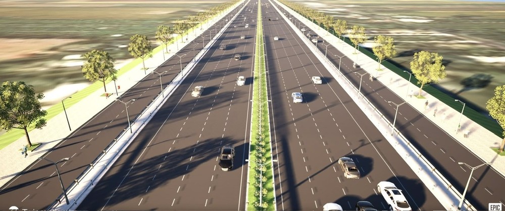
A key proposal is Ho Chi Minh City Ring Road 4.5, envisioned as a high-speed urban arterial with limited interruptions. The road would have eight lanes, a design speed of 80-100 kilometers per hour, and a width of 62-80 meters.
The 192-kilometer route would be developed largely along National Highways 56 and 56B, crossing Ho Chi Minh City, Dong Nai, and Tay Ninh.
Under the proposed alignment, Ring Road 4.5 would begin at a planned interchange connecting Ho Chi Minh City Ring Road 5 with the Bien Hoa-Vung Tau Expressway. It would then follow National Highways 56 and 56B before reconnecting with Ring Road 5 in the Go Dau area.
The city is also proposing Ring Road 5, a much larger corridor designed to link localities across the wider region while extending connections toward the South Central Coast and Central Highlands.
The road is being studied as a six- to eight-lane urban expressway with parallel frontage roads where required by local development needs. It would have a design speed of about 100 kilometers per hour and a minimum width of 74.5 meters.
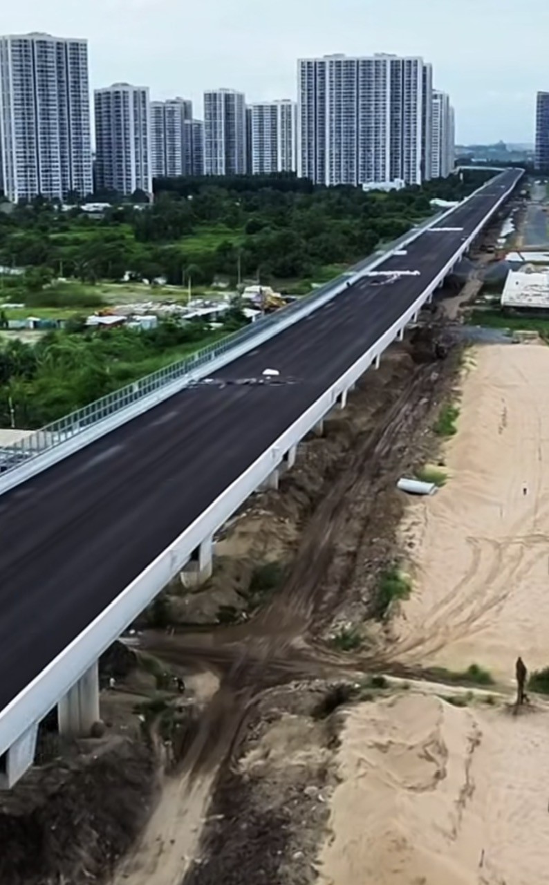
Ring Road 5 is expected to begin at the intersection of Road 992 and National Highway 51, follow National Highway 55 toward La Gi in Lam Dong, cross National Highway 1, and continue northwest.
Two route options are under consideration.
The first would pass north of Cat Tien National Park and connect Da Teh, Dong Xoai, Chon Thanh, Dau Tieng, Go Dau, Tan An, and Can Duoc. It would then follow the southern coastal corridor through Can Gio before returning via Road 992 to its starting point at National Highway 51. The route would be about 487 kilometers long.
The second option would follow a broadly similar alignment but pass through Cat Tien National Park on its way toward Dong Xoai, shortening the total distance to about 440 kilometers.
Alongside the two ring roads, Ho Chi Minh City is studying a northern extension of the Bien Hoa-Vung Tau Expressway, designated CT.28, to connect with Ring Roads 4 and 4.5.
The proposed 30-kilometer extension would start at National Highway 1, cross the Dong Nai River toward Thuong Tan, and link with ring roads in the former Binh Duong area. It would be built as a six-lane urban expressway, with parallel roads where necessary, and have a width of about 64 meters.
The city is also considering upgrading the planned National Highway 51C corridor into an eight-lane urban expressway, creating a north-south high-speed route that bypasses the city center.
The proposed 70-kilometer corridor would connect with the Ben Luc-Long Thanh Expressway at CT.28, cross National Highway 1 and intersect with the Dau Giay-Phan Thiet Expressway. The roadbed would be about 74.5 meters wide.
The Ho Chi Minh City Department of Construction has asked the three provinces to assess whether the proposed alignments are consistent with provincial, urban, rural, and sectoral planning, as well as long-term transport infrastructure strategies.
Local authorities have also been asked to evaluate the feasibility of the routes, their connections with expressways, national highways, ring roads, and major transport hubs, and their ability to meet future travel demand and distribute traffic efficiently.
Where proposed alignments are considered unsuitable, provinces have been asked to identify sections requiring adjustment and recommend alternative routes, interchange locations, and connection points. The feedback will be used to refine Ho Chi Minh City's broader interregional transport network and to develop a more integrated and efficient infrastructure system across Southern Vietnam.