 |
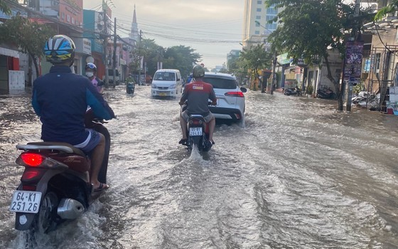 |
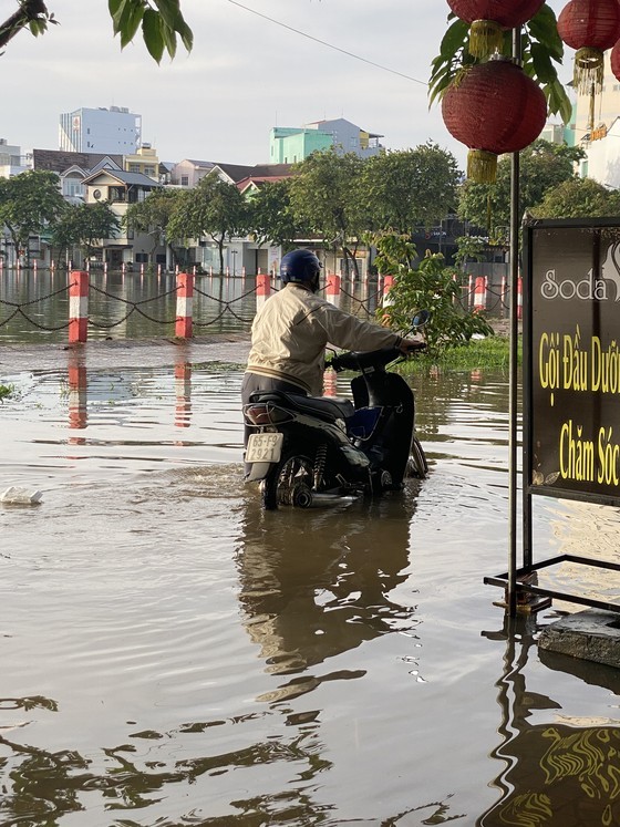
The observed water levels at Can Tho Station on Hau River reached 2.03 meters, 0.03 meter above the alert level 3.
This is the third consecutive day that Can Tho City has suffered from tidal flooding falling in mornings and evenings.
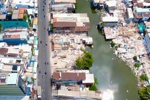
The National Center for Hydrology Meteorology Forecasting reported that widespread thundery showers would slam the Central Highlands and Southern regions from nighttime of October 1. It is forecast that torrential rainfall will inundate low-lying areas and pose risks of flash floods, landslides and land subsidence in mountainous areas.
Currently, the waters from Binh Thuan to Ca Mau and the south part of the East Sea comprising the Spratly Islands are rough and choppy with showers and thunderstorms.
It is expected that the middle of the East Sea including the Spratly Islands, the waters from Binh Thuan to Ca Mau, Ca Mau to Kien Giang and the Gulf of Thailand may continue to have thundery showers and the potential of cyclones and whirlwinds.
In related news, weather experts warned of high UV index which will reach a very harmful level in the whole country from now to the next couple of days.
In October, one or two storms and tropical depressions are likely to brew in the East Sea.
According to Deputy Head of the Climate Forecast Department at the National Center for Hydro-meteorological Forecasting Nguyen Duc Hoa, the storms or tropical depressions in the East Sea will directly affect the mainland.
During this month, the total rainfall in the Northern, Central Highlands and Southern regions may be five to 15 percent higher than the average level of previous years. Cold waves may appear and tend to increase in intensity and frequency.
Moreover, the appearance of storms, tropical low-pressure systems and southwest monsoons along with dangerous phenomena like thunderstorms, lightning, hail and cyclones could trigger blustery winds and huge waves affecting activities of fishing vessels offshore as well as people’s lives.
It is important that people strictly comply with the guidance of local authorities on natural disaster prevention and control measures.