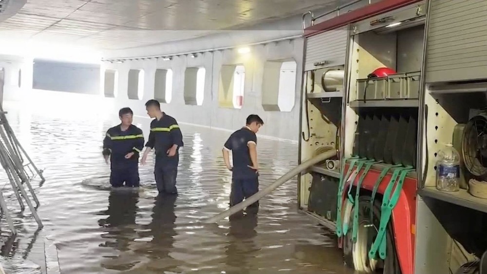
Ho Chi Minh City plans to roll out 87 flood-control projects worth about VND140 trillion through 2030, aiming to substantially address flooding at 50 chronic hot spots as the city faces growing threats from extreme weather, high tides, land subsidence, and rising sea levels.
The plan was outlined at a conference organized by the Ho Chi Minh City Department of Construction on September 15 to discuss urban drainage, flood control, and measures to improve wastewater collection and treatment by 2030.
From “drain quickly” to integrated flood-risk management
Mr. Le Ngoc Linh, Deputy Director of the Ho Chi Minh City Department of Construction, said the 87 projects would be implemented between 2026 and 2030 as part of broader efforts to strengthen the city's resilience to flooding.
He said Ho Chi Minh City was increasingly exposed to extreme weather, high tides, sea-level rise, and land subsidence. Meanwhile, its canal network, drainage systems, and pumping stations remained poorly integrated. Some earlier planning frameworks were also no longer suitable, limiting both flood-control capacity and space for water drainage and retention.
Mr. Hoang Quang Huy, a representative of international engineering consultancy Royal HaskoningDHV, said the city's low-lying terrain was a major factor behind its high flood risk.
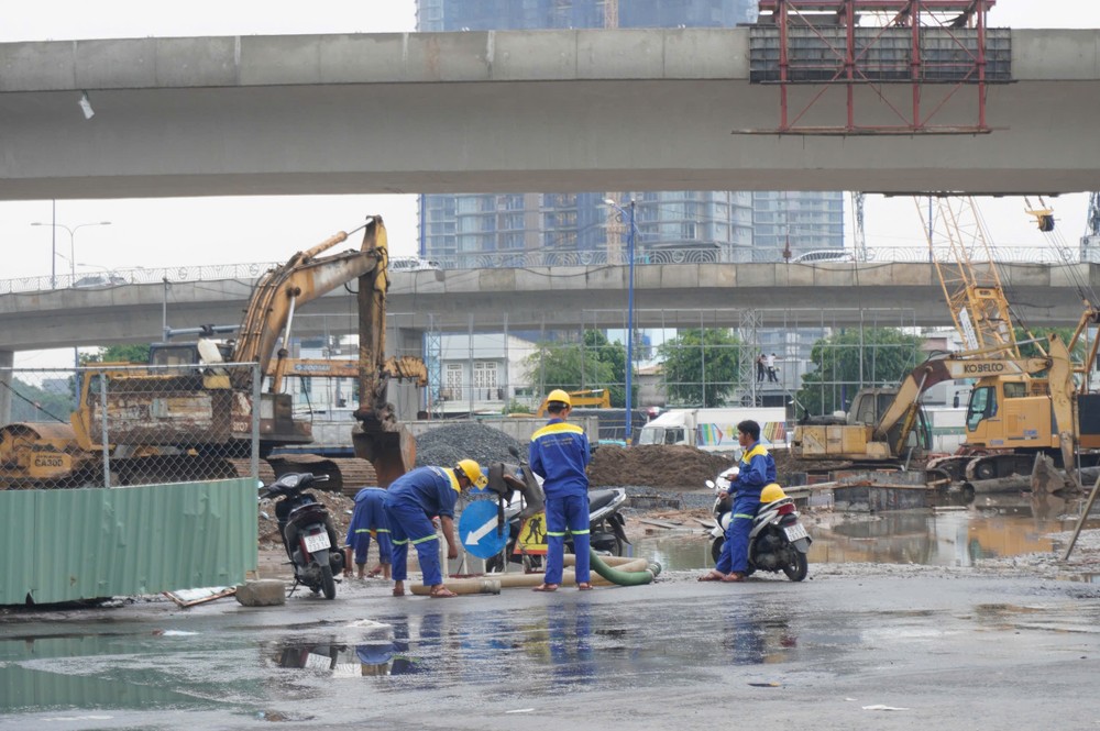
Rapid urbanization between 1990 and 2020 in 12 wards, including Hiep Binh, Thu Duc, Tam Binh, Linh Xuan, Tang Nhon Phu, Phuoc Long, Long Binh, Long Phuoc, Long Truong, Binh Trung, Cat Lai, and An Khanh, had significantly reduced natural water-storage areas.
At the same time, average land subsidence in Ho Chi Minh City and the Mekong Delta is about two centimeters a year, with some newly developed areas sinking even faster.
Haskoning recommended that the city move away from a conventional "drain water quickly" approach toward integrated flood-risk management.
The proposed strategy would combine multiple layers of protection with a "delay, store, and drain" mechanism. One option is a polder system combining dikes, retention lakes, sluice gates, and pumping stations, which could reduce reliance on sand for land filling while allowing greater flexibility as subsidence worsens.
Wastewater treatment remains a challenge
Flood control is only part of the city's infrastructure challenge. Ho Chi Minh City also plans to significantly expand its urban wastewater collection and treatment capacity.
By 2030, the city aims to collect at least 80 percent of urban wastewater and treat 40-45 percent to required standards. Currently, however, only about 52 percent is collected, while just 19.5 percent is treated to required standards.
Mr. Le Ngoc Linh said the bottleneck was not simply a shortage of treatment capacity but also poor coordination between collection networks, treatment plants, pumping stations, and related infrastructure.
For existing treatment plants operating below capacity, the city should prioritize interceptor sewers, pumping stations, connection points, and transmission pipelines to channel more wastewater to the facilities, he said.
Wastewater collection systems should also be integrated into road and alley upgrades, urban renewal, and flood-control projects to make better use of investment resources and avoid repeatedly digging up streets.
Ho Chi Minh City currently has 159 locations prone to recurring flooding, including 76 in the pre-merger Ho Chi Minh City area, 52 in the Binh Duong area, and 31 in Ba Ria-Vung Tau.
Of the 50 locations targeted for substantial improvement by 2030, 34 are in the former Ho Chi Minh City area, nine in Binh Duong, and seven in Ba Ria-Vung Tau.
Consultants estimate that without further flood-control investment, annual flood-related losses could reach US$150 million by 2100. Combining engineered infrastructure with nature-based solutions could cut the projected losses to about US$50 million a year.