") |
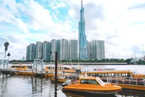
A view of HCMC’s central area located along the Sai Gon river. ( Photo: VNA) |
Under this scheme, Thu Duc City will be a smart, highly interactive, and innovative urban area in HCMC’s eastern part, and Can Gio district will be turned into an ecological urban area serving as a gateway for international trade by sea.
Meanwhile, the southern and southwestern urban areas are a gateway connecting with the Mekong Delta, and the northwest urban area serves as a gateway connecting with neighboring provinces of Binh Duong and Tay Ninh, and Cambodia.
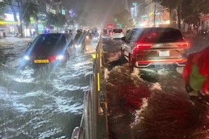
HCMC is zoning its inland waterway infrastructure system in order to contribute to socio-economic development and reduce the load on road traffic.
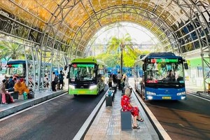
It has a plan for a synchronous transport infrastructure system, meeting the demand for convenient and smooth traffic connections between satellite urban areas.
It focuses on research and planning of a coastal road associated with coastal economic corridors, the N2 road, which is a strategic economic corridor from HCMC's Cu Chi district to the Mekong Delta provinces of Long An, Dong Thap and An Giang, the logistics corridor Moc Bai – HCMC – Cai Mep, and a synchronously-connected transport system with neighboring provinces.
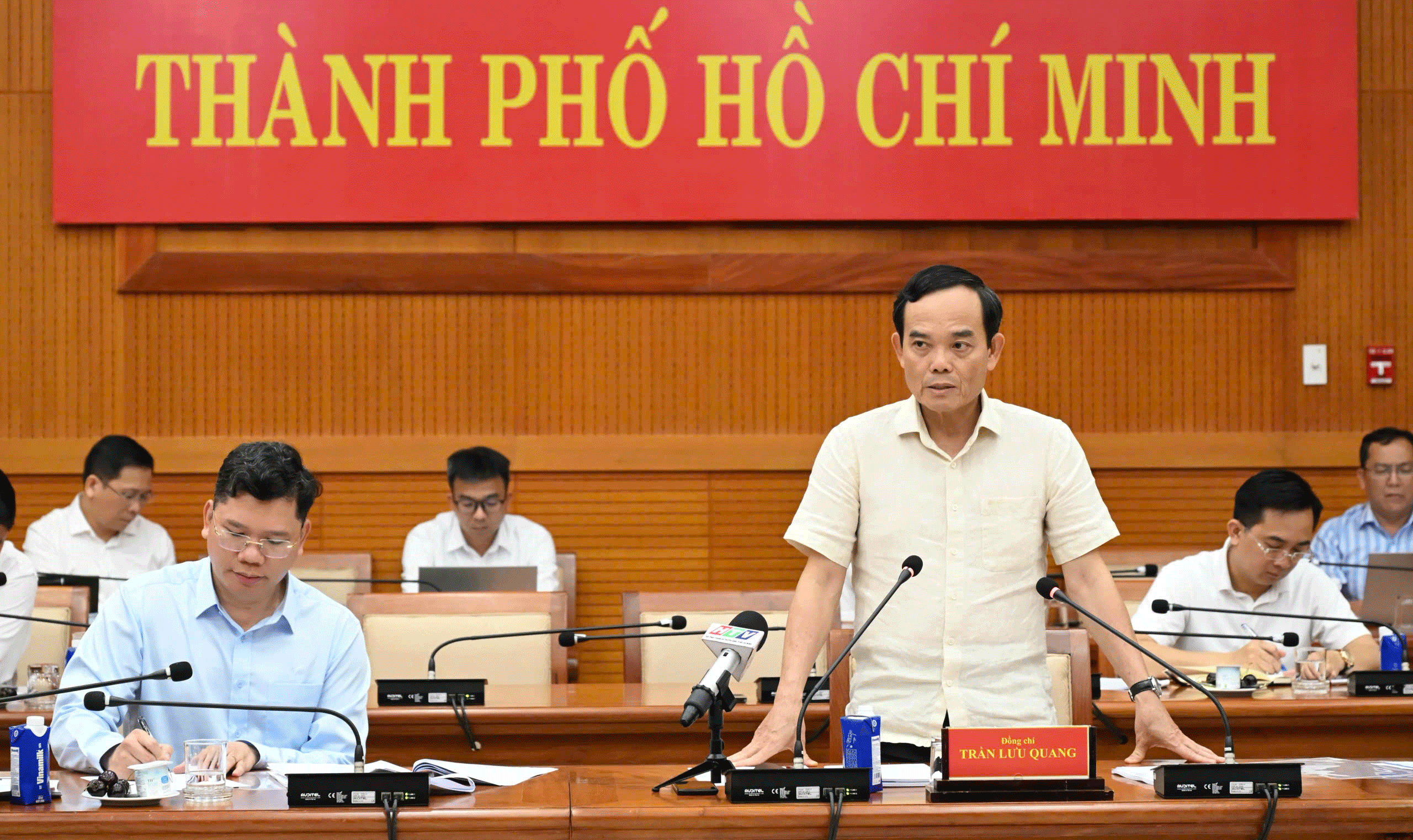
Municipal People's Committee Chairman Phan Van Mai has asked relevant departments and agencies to update the planning for the city’s transport system based on the general construction planning, along with the direction of gradually reducing traffic pressure on the city’s central area and developing satellite urban areas associated with main urban functions in the overall city and urban areas.