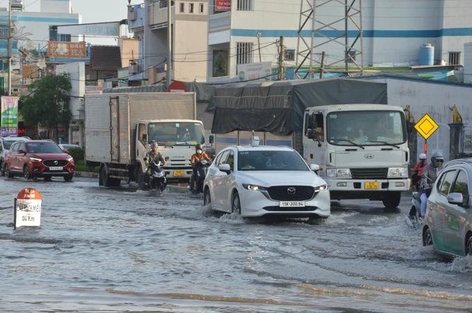
According to the Southern Institute of Water Resources Planning, high tides tend to increase and peak on September 19 and 21. Compared to the peak tides of the same period, this year’s level is much higher than the average of many years, generally close to and lower than the second-stage warning level. Especially, the water in Ganh Hao station was measured higher than the third-stage warning level.
The rainfall over the next few days in the lower Mekong River basin is expected to be significant. Precipitation levels in the Mekong Delta are already elevated and are projected to rise further, particularly on September 18, with overall rainfall ranging from 20 to 60mm, and in some areas exceeding 60mm.
The Mekong River is expected to experience a rise in flood levels at Tan Chau and Chau Doc during the high tide phase in the latter half of September 2024. This increase is attributed to heightened rainfall and flooding upstream, coinciding with the mid-lunar August high tides. The flood is anticipated to reach its peak between September 19 and 22, with water levels at Tan Chau ranging from 3 to 3.2 meters, which is 0.07 to 0.27 meters above the levels recorded in 2023.
The maximum flood level in the Mekong Delta, influenced by high tides and upstream floodwater flows, has resulted in certain stations surpassing the second-stage warning level. Notably, Long Xuyen station and Vam Nao station, both in An Giang, have exceeded this level. In the central region, water levels typically range between the second-stage warning level and the third-stage warning level, with some stations along the main river exceeding the third-stage warning level during high tide and upstream flooding.
Specifically, the flood peak at Can Tho station is anticipated to reach between 2.05 and 2.15 meters, which is 0.05 to 0.15 meters above the third-stage warning level. Similarly, My Thuan station is expected to experience a flood peak of 1.95 to 2.05 meters, exceeding the third-stage warning level, by 0.15 to 0.25 meters.
Deputy Director Pham Van Manh of the Southern Institute of Water Resources Planning has indicated a significant risk of flooding in the Mekong Delta from September 18 to 22 which is attributed to the combination of high tides and heavy rainfall in low-lying regions.
Local governments should take immediate action in flooding- vulnerable areas by assessing the integrity of weak and newly constructed embankments, as well as formulating effective response strategies. In irrigation sub-regions with low embankment heights, such as Ca Mau, Bac Lieu, Hau Giang, and Kien Giang provinces, it is crucial to closely monitor weather forecasts and tidal patterns to implement timely drainage measures and prepare pumping operations in the event of flooding.
On the same day, Chairman of the Bac Lieu Provincial People's Committee Pham Van Thieu requested that the Department of Agriculture and Rural Development and all localities in the province urgently implement plans to protect agricultural production areas and aquaculture areas in case of heavy rain and tidal surges.
Accordingly, a flexible water regulation schedule should be developed to suit the tidal and heavy rain trends, promptly opening the drainage system to prevent flooding and protect production in addition to the operation of the sea gates to prevent flooding in the southern urban areas of National Highway 1A and the gate systems managed by administrations in communes, the pumping station system, and the closed irrigation cells to drain water and prevent flooding, serving well for the summer-autumn rice harvest and the sowing of the autumn-winter rice crop, and rice on shrimp farms.


