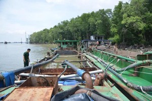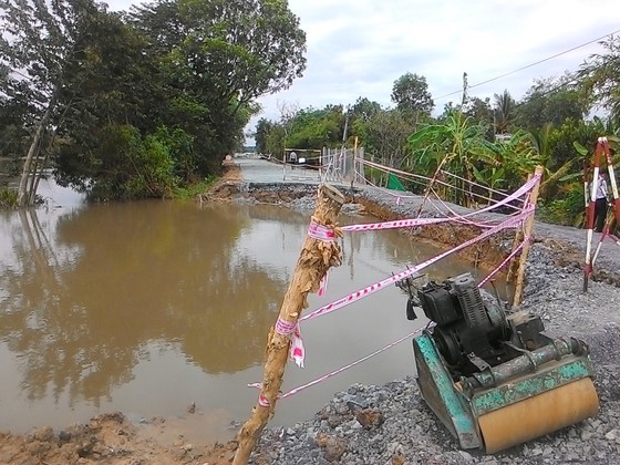
According to the proposals of 11 districts with 50 landslide sites, the agency collaborated with the Municipal Department of Transport to inspect the scenes, evaluate and classify the risks of landslides at riversides, riverbanks, canals and dykes in the city.
According to the Division of Irrigation under the Municipal Department of Agriculture and Rural Development, some locations among the above landslide sites have been effected by other construction works.
The rest sites have seen landslide prolong for a long time but the issue has not been repaired yet. They include the left bank of Phuoc Loc Bridge, Cay Kho Canal, the right bank upstream of Kinh Lo - Tac Muong Lon junction, the right bank from Long Kien Bridge to upstream area of Nha Be, the left bank of Tac An Nghia in Can Gio, Xom Cui canal in Binh Chanh. Many landslide sites in District 2, 8 and Binh Thanh District have existed for over the past ten years.
An embankment erosion in Tau Hu - Lo Gom canal has not been handled over the past four years due to power line problems.
At this time, there have been 37 riverside and canal sites with the total length of nearly 23,500 meters and 35 protective dyke projects against landside in the city.
Last year, anti- landslide projects were urgently sped up to be completed and put into operation in Dia canal, Roi canal, Phu Xuan River in District 7; Ben Luc River- Xang Ly Van Manh canal junction in Binh Chanh; protection dyke at An Hoa residential area in Can Gio District.


