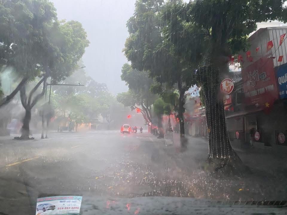
Hanoi reeled under widespread chaos on the morning of August 26 as torrential rains unleashed by storm Kajiki’s circulation pounded the capital, inundating neighborhoods, paralyzing traffic, and submerging streets across the city.
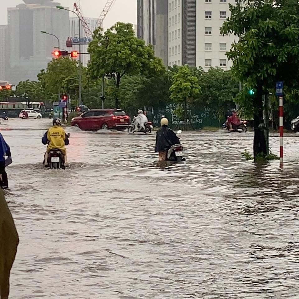
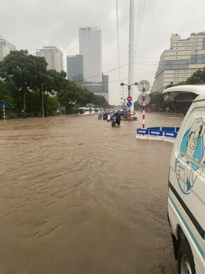
From as early as 3–4 a.m., major thoroughfares were inundated. By 9 a.m., vast stretches from downtown to the outskirts had turned into rivers, with floodwaters rising halfway up vehicle wheels, in many places higher than motorbike seats. Water poured into homes, shops, and businesses, disrupting all aspects of daily life.
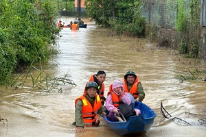
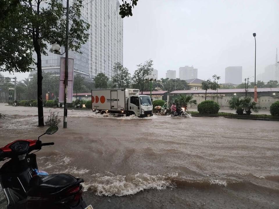
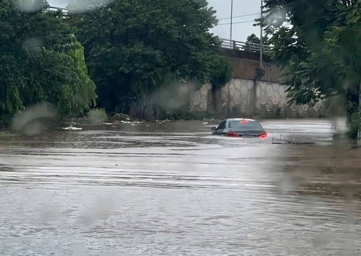
Across the city, vehicles broke down in droves. Residents waded through waist-deep water, pushing motorbikes in search of a way forward. Many had no choice but to turn back or failed to reach their workplaces on time.
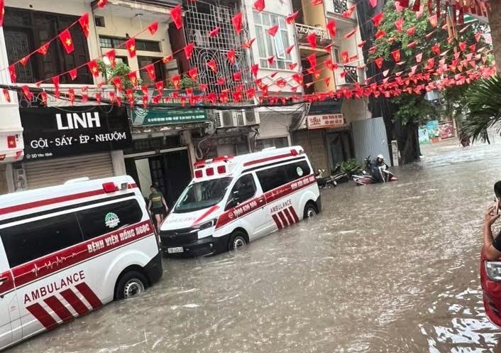
In Ha Dong’s Yen Xa area, deep flooding from 5 a.m. submerged roads around K Hospital, Military Hospital 103, and the local market, leaving commuters stranded. A similar situation was reported in Ngoc Hoi in southern Hanoi, where countless vehicles stalled, creating long traffic jams.


At Gleximco An Khanh Urban Area, dozens of cars were left waterlogged.

Low-lying stretches along To Huu–Trung Van were impassable, while the Nguyen Trai–Khuat Duy Tien–Nguyen Xien intersection suffered severe flooding, with cars and motorbikes stalling midstream. Thang Long Avenue, including An Khanh Bridge and the section near Tran Duy Hung, was also inundated, leaving many vehicles damaged.

Hanoi Sewerage and Drainage Company listed numerous locations already flooded or at risk of worsening inundation, including Cao Ba Quat, Phan Boi Chau–Ly Thuong Kiet Intersection, Ton Dan, Alley 99 Hoa Bang, My Dinh–Thien Hien Intersection, Tran Binh Street (from Mai Dich Ward People’s Committee to 19-8 Hospital), Vo Chi Cong near the UDIC Tower, Yen Duyen along Ring Road 3, Hoang Mai Street (Alley 169 to Hoang Van Thu Ward People’s Committee), and Nguyen Chinh Street (Alley 74 to Tan Mai Canal).
Other hotspots included Den Lu Street (by Den Lu Lake), Alley 165 Thai Ha, Thanh Cong Market, the railway underpass on Thien Duc Street, To Huu Street (from Luong The Vinh to Trung Van), Nguyen Trai Street (in front of the University of Social Sciences and Humanities), Do Duc Duc Street (Mieu Dam area), Quan Nhan Street, and underpasses 3, 5, 6, and Km9+656 on Thang Long Avenue.


The Southern and Western areas were among the hardest hit, with Nguyen Xien Street (from the Nguyen Trai Intersection to Alley 214), Trieu Khuc (opposite the University of Transport and Communications and from Alley 97 to Ao Dinh), Ngoc Hoi (No.611 to 673), and Le Loi–Tran Hung Dao area near Ha Dong Market all under water.
Ha Dong area itself bore the brunt, with Quang Trung Street (from Phan Dinh Giot to Le Trong Tan), the section in front of Nguyen Hue High School, La Khe Train Station, residential clusters in Yen Nghia, the Xom neighborhood opposite Hai Phat Tower, Yen Nghia Street (from Yen Nghia Bus Station to Ba La T-junction), Quyet Thang Street, and Phu La’s 18-Block housing area all severely flooded.
Mr. Nguyen Duc Hung, Director of the Hanoi Technical Infrastructure Management Center, urged residents to limit travel, warning that heavy rainfall was still ongoing. He noted that once the downpour subsides, floodwaters would likely recede within two to three hours, restoring traffic flow. But as of 9 a.m. on August 26, the rain showed no sign of abating. Meteorologists cautioned that Hanoi and much of the Northern region should brace for a day of relentless downpours and strong winds.
Field reports showed widespread flooding in numerous residential areas and streets, including Quan Nhan, Nhan Chinh, Nguyen Trai, Cao Ba Quat, and Nam Trung Yen, where floodwaters rose between 30 and 50 centimeters, causing major difficulties for local residents in commuting and daily activities.
The inundation forced several schools to suspend classes on Tuesday morning. Hoang Cau High School, for instance, issued an emergency notice for students to stay home after its entire schoolyard and first floor were flooded.


According to Hanoi Sewerage and Drainage Company, cumulative rainfall between 30 and 50 millimeters left dozens of streets underwater, such as Tran Vu, Cao Ba Quat (Ba Dinh Ward); Lieu Giai, Doi Can (Ngoc Ha Ward); Phung Hung, Bat Dan, and the Trang Tien–Hang Bai intersection (Hoan Kiem Ward); Thai Ha, Lang Ha, Huynh Thuc Khang (Dong Da Ward); Nguyen Khuyen, Le Duan (Van Mieu–Quoc Tu Giam Ward); Truong Chinh, Chua Boc, Ton That Tung (Kim Lien Ward); Xuan Thuy, Cau Giay, Pham Hung (Cau Giay Ward); Au Co, Thuy Khue, Vo Chi Cong (Tay Ho Ward); Quan Nhan, Nguyen Tuan, Nguyen Trai, Le Van Luong (Thanh Xuan Ward); and Giai Phong, Tan Mai, Linh Nam (Hoang Mai Ward). Severe flooding was also reported in several low-lying suburban areas, including Xuan Mai, Thuong Tin, Dan Phuong, and Dong Anh.


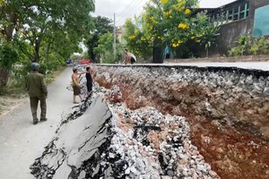
With heavy rainfall expected to persist, authorities have issued a Level-1 disaster risk warning for flooding across Hanoi, while also cautioning against potential landslides in parts of Ba Vi and Son Tay. Residents are advised to remain vigilant, prepare response measures, and closely monitor weather updates to ensure safety in both transportation and daily life.