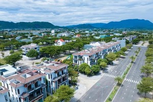
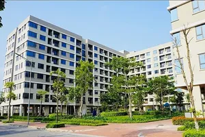
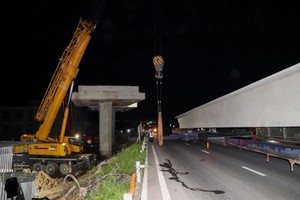
Buildings along the corridor will typically range from 30 to 45 storeys, highlighted by the flagship 109-storey Era Tower.
The landmark project is expected to unlock a new development horizon for Hanoi, breathing new life into the thousand-year-old capital.
Although the Red River has long played a pivotal role in Hanoi's history and development, its strategic values have yet to be fully leveraged to keep pace with the capital's modern transformation. To address this, the Hanoi People’s Committee has presented an overall adjustment to the 1/5,000-scale Red River Urban Sub-zone Plan to pave the way for the Red River Scenic Boulevard Axis project, while initiating a public consultation period running from September 7 to September 27, 2026.
Strategic axis for Hanoi's landscape, transport, and urban future
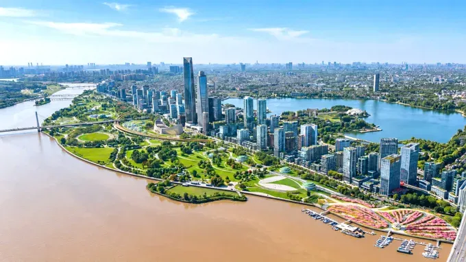
Under the master plan, the Red River Scenic Boulevard Axis is designated as one of nine key drivers of Hanoi's development. It is envisioned as a strategic corridor, a central green space, and a hub for economic, commercial, service, and urban activities integrated with creative culture, science, and technology along both riverbanks.
The project study area spans approximately 40 kilometers from Hong Ha Bridge to Me So Bridge, covering 16 communes and wards across Hanoi. Covering a total research area of roughly 11,418 hectares, the corridor currently accommodates a population of nearly 280,000. The planned area holds significant historical and cultural value, featuring 123 heritage sites—including one special national monument, 26 national-level monuments, 35 municipal-level monuments, and 61 unclassified sites—alongside 14 historical landmarks commemorating revolutionary and war events.
The Red River Scenic Boulevard Axis is oriented to become a strategic space for the capital's landscape, transportation, and urban development, driving a spatial redesign that shifts Hanoi from a city that "turns its back on the river" to one that "faces the river." This approach aims to leverage the scenic, cultural, and historical value of the Red River while shaping a modern, civilized urban skyline.
A core principle of the master plan is "flood adaptation," prioritizing the structural safety of the dike system and the river's flood discharge capacity above all else. "The fundamental rule is to avoid narrowing the flood discharge area and to propose no new dikes within the existing dike lines," according to the city’s report.
Three spatial segments
- Hong Ha Bridge to Thang Long Bridge: Spanning approximately 3,436 hectares with an estimated population of 160,000, this segment is designated for urban renewal and the restoration of traditional villages. Development priorities include ecological parks, nature conservation zones, and outdoor sports spaces.
- Thang Long Bridge to Thanh Tri Bridge: Covering roughly 4,548 hectares with a population of around 541,000, this core zone is envisioned as the capital's "urban living room." It will center on urban renewal, financial and commercial hubs, innovation centers, and landmark structures connecting West Lake with the historic Co Loa Citadel.
- Thanh Tri Bridge to Me So Bridge: Spanning about 3,435 hectares with an estimated population of 499,000, this area will feature park clusters, urban developments (including resettlement and multi-purpose urban zones in Linh Nam Ward), commercial-service centers, the preserved Bat Trang craft village, and eco-agricultural spaces.
In addition, the Hanoi government aims to implement flexible landscape solutions, such as demountable structures, terraced eco-flood dikes, and silt-retaining rain gardens. Roads will run close to the existing dike network, leveraging current infrastructure while adhering strictly to flood safety requirements. The spaces along both riverbanks will be arranged into a signature green corridor combining lush foliage, open water bodies, historical-cultural spaces, parks, tourism services, entertainment centers, and public facilities. This corridor will serve as a stage for cultural events, festivals, and tourism activities, unlocking the true value of the Red River and serving as a driver for socio-economic growth.
Better-connected urban corridor
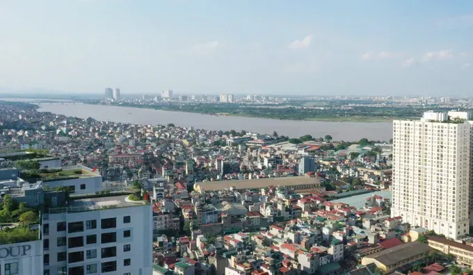
Spatial planning for the project prioritizes three core principles: "Safety, Ecology, and Connectivity." Flood discharge zones will incorporate climate change adaptation and natural disaster mitigation measures, ensuring natural drainage that aligns with the riverbed landscape.
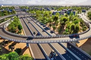
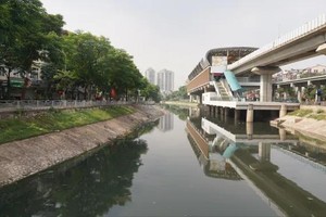
Parallel to environmental planning, the transportation network and technical infrastructure will be developed in a synchronized, modern, and seamlessly interconnected manner. The riverside road network will link with major arterial routes, cross-river bridges, roadways, waterways, and urban rail systems—strengthening connections between the two banks of the Red River, enhancing infrastructure accessibility, and opening new strategic development space for the capital.
Through this boulevard axis, the Hanoi government aims to transform the Red River corridor—long fragmented by dike systems, disjointed infrastructure, and limited accessibility—into a better-connected urban axis with expanded green areas and public spaces. The project will foster cultural, tourism, commercial, service, and community activities, providing residents with greater access to parks, promenades, civic venues, sports complexes, and waterfront landscapes tailored to designated planning zones.
Regarding residential and construction specifications across the roughly 11,418-hectare study area—with a projected population of 800,000 to 1.2 million—the plan allocates approximately 55 square meters per person for civil land use and 15 square meters per person for residential units. The gross building coverage ratio is capped at roughly 60 percent for commercial and public service zones, 35 percent to 40 percent for residential clusters, 25 percent for theme parks, and 5 percent for public parks. Standard building heights will range from 30 to 45 storeys, anchored by the landmark 109-story Era Tower. Meanwhile, traditional villages will maintain a planned height limit of 3 stories, subject to specific criteria evaluated under detailed 1/500-scale zonal plans.