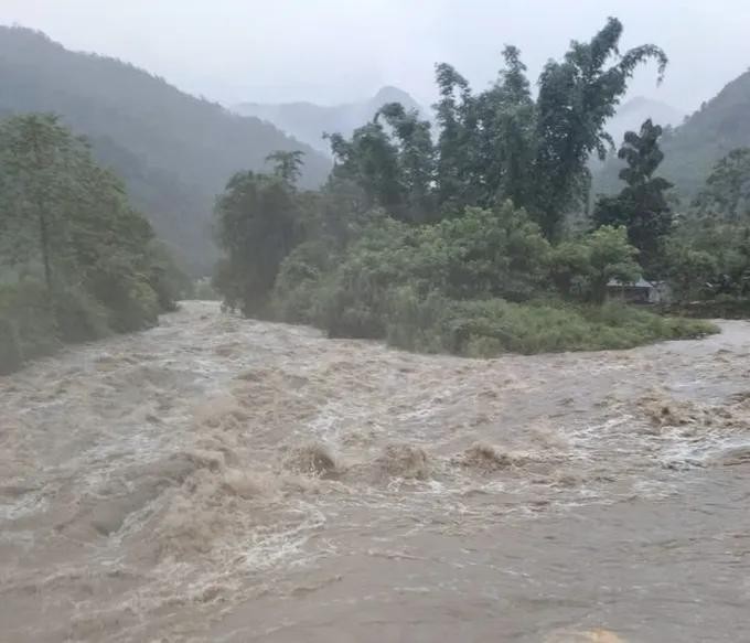
The National Center for Hydro-Meteorological Forecasting said on the morning of July 17 that rivers across the Northern region are likely to experience a flood event between July 17 and 20, with water levels expected to rise by 2 meters - 4 meters.
During this period, flood peaks on small rivers, the upper reaches of the Thao and Lo rivers, and the Thai Binh river system are forecast to reach the first-stage warning level to the second-stage warning level, with some locations potentially exceeding the second-stage warning level.
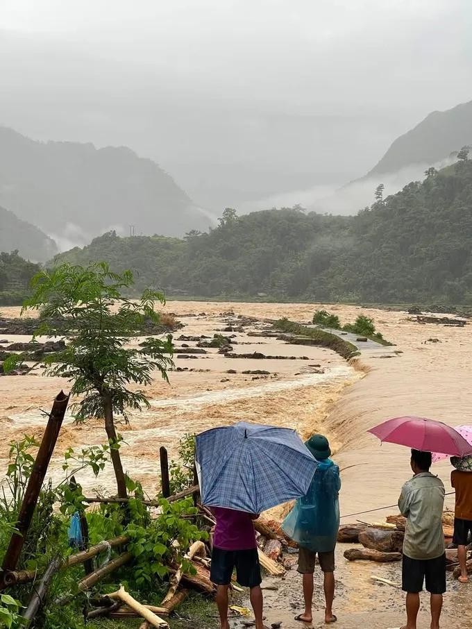
The agency attributed the forecast to continued heavy rainfall expected in the upstream provinces of Lai Chau, Dien Bien, Lao Cai, Son La, and Tuyen Quang. Rainfall totals of 70 mm -150 mm are forecast, with isolated areas likely to receive more than 300 mm.
Earlier, during the night of July 16 and the morning of July 17, many meteorological stations in the Northwest region recorded moderate to heavy rainfall of 30 mm - 60 mm, with some locations receiving more than 100 mm. Recorded rainfall included 279 mm in Che Tao Commune of Lao Cai Province, 213 mm in Muong La Commune of Son La Province, and 130 mm in Nam So Commune of Lai Chau Province.
A representative of the National Center for Hydro-Meteorological Forecasting said that as of 7 a.m. on July 17, river levels across Northern Vietnam remained low and below the first-stage warning level.
Water levels at the Yen Bai hydrological station on the Thao River measured 26.12 meters and were continuing to rise.
At the Dap Cau station on the Cau River, the water level was 2.1 meters and falling slowly. The Phu Lang Thuong station on the Thuong River recorded 2.01 meters and was also declining. Water levels stood at 11.81 meters at the Hoa Binh station on the Da River, 15.81 meters at the Tuyen Quang station on the Lo River, and 3.86 meters at the Hanoi station on the lower Red River. Water levels at these stations were generally fluctuating or changing slowly.