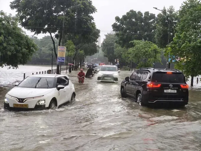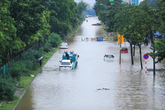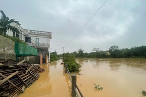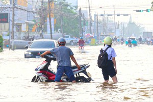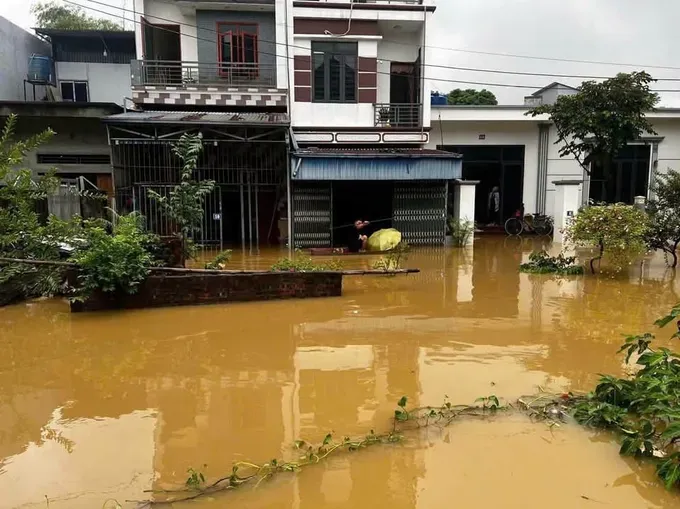
According to a quick report from the Hanoi Department of Dyke Management and Natural Disaster Prevention and Control submitted to the Vietnam Disaster and Dyke Management Authority under the Ministry of Agriculture and Environment, floodwaters had affected 2,389 households—comprising 10,625 people—across the capital as of the afternoon of September 17.
Rising waters spilled over more than 7.4 kilometers of dykes and embankments, while over 18.8 kilometers of key transport routes were submerged, causing severe traffic disruptions.
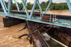
Water levels along several rivers in western and southern Hanoi remain critically high. The Tich River reached Warning Level III at the Kim Quan and Vinh Phuc monitoring stations. Similarly, the Bui River hit Level III at the Yen Duyet station. The Day River and Nhue River rose to Level II at Ba Tha and Dong Quan stations, respectively, while the My Ha River reached Level I at Hoa Lac.
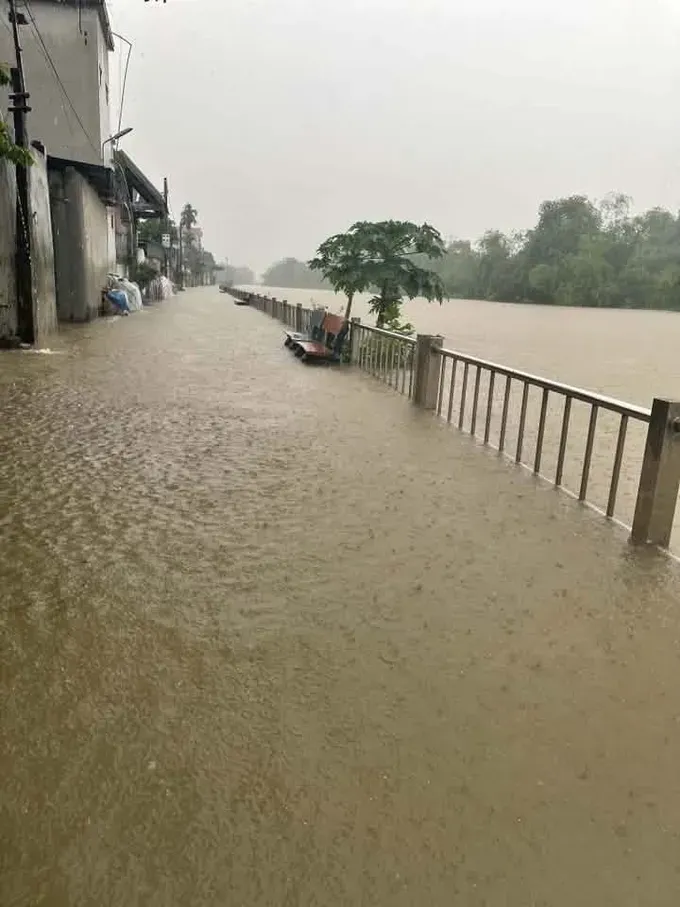
In contrast, major waterways including the Da, Red, and Duong rivers passing through Hanoi, as well as the Cau and Ca Lo rivers in the northern city, remained below Warning Level I.
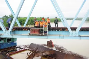
In response, municipal authorities deployed nearly 2,300 emergency personnel, 87 specialized vehicles, and over 1,600 tools and supplies to support flood prevention and relief operations.
To drain the inundated areas, the Hanoi Sewerage And Drainage Company Limited operated at full capacity at major pumping stations, including all 20 units at the Yen So facility, four at Bac Thang Long–Van Tri, and four at Co Nhue. In suburban areas of Hanoi, irrigation systems activated 247 pumping stations with 1,100 pumps, delivering a total drainage capacity of over 3.6 million cubic meters per hour.