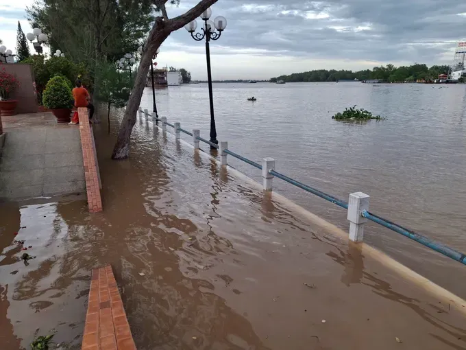
In response to the threat of severe flooding, downstream localities are urgently implementing a range of measures to mitigate the impact.
In the early morning and late afternoon of October 7, several markets, roads, and residential areas in Can Tho City were severely flooded, with water levels reaching nearly half a meter, disrupting the daily lives of hundreds of households. Ninh Kieu Wharf in Ninh Kieu Ward experienced similar conditions. Along National Highway 1A, in the section passing through Nga Bay Ward of Can Tho City (formerly part of Hau Giang Province), a combination of floodwaters and high tides submerged more than one kilometer of roadway, with some sections under nearly 0.5 meters of water.
Local authorities are currently implementing flood hazard warnings to alert residents and vehicles about deeply inundated areas. According to the Southern Institute of Water Resources Research, the peak flood period for 2025 is expected to occur between October 8 and 10. Water levels are forecast to reach approximately 3.60–3.80 meters in Tan Chau and 3.40–3.60 meters in Chau Doc.
At present, upstream water levels of the Mekong River in Tan Chau and Chau Doc are rising rapidly. The increase is attributed to the combined effects of storm Bualoi over the lower Mekong basin and coinciding high tides.

In response to the situation, many localities across the Mekong Delta are actively implementing measures to mitigate damage. In An Thanh Commune, Can Tho City, over the past two days, local forces, including police, youth union members, and residents, have been working together to reinforce and shore up vulnerable sections of river dikes at risk of erosion.
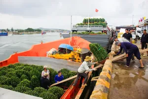
In Vinh Long Province, on October 7, residents living along the Mang Thit River in Tan Long Hoi Commune were busy harvesting vegetables and fish from ponds to avoid potential flooding and losses if the river water breaches their land.
In Dong Thap Province, Mr. Nguyen Thanh Dieu, Vice Chairman of the Provincial People’s Committee, has requested relevant agencies to inspect riverbank areas at risk of erosion in order to promptly issue warnings, install danger signs, and organize the relocation of residents to safe locations. Authorities are also tasked with inspecting and ensuring the safety of irrigation works, dikes, disaster prevention infrastructure, and drainage systems.
Residents of Dong Thap, Vinh Long provinces, and Can Tho City have urged local authorities to provide timely updates on the developments of the peak flood season, combined with high tides. They call for early, specific warnings for vulnerable areas such as roads, markets, and river islets under threat. Such measures would enable the community to proactively implement effective response plans.


