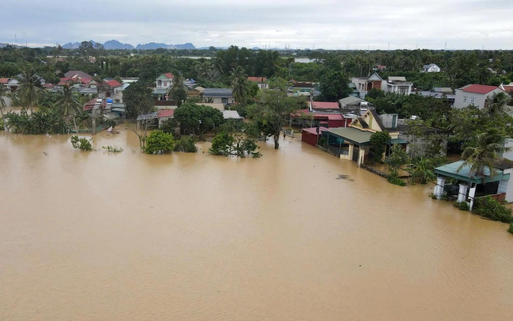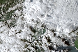
On the afternoon of November 9, a leader of the Nong Cong Commune People's Committee told the press that prolonged heavy rain had hit the area from the night of November 8 until midday November 9, while rising floodwaters in the Yen River inundated numerous residential areas.
Preliminary statistics showed that more than 1,000 homes in 12 of the commune's 19 villages had been flooded. Local authorities had evacuated 12 households, comprising 47 people, to safe locations within the area. Dozens of hectares of newly planted winter-season vegetables and crops were also inundated, putting them at risk of damage.
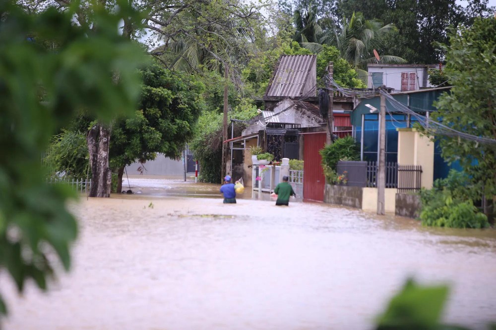
Flooding cut off several roads and residential areas, making them impassable to vehicles. By the afternoon of November 9, as rainfall eased, some residents in flooded areas waded through the water to seek food and replenish essential supplies.
The rain was extremely heavy. The river rose rapidly, and floodwater quickly poured into our homes. In many places, the water on the roads reached waist level, said Nguyen Van Bay, a resident of Nong Cong Commune.
On November 9, local authorities mobilized personnel, vehicles and supplies to assist residents in severely flooded areas. Additional motorized boats, plastic boats, inflatable boats, life jackets and essential supplies were deployed to support rescue and relief operations.
According to data from the Chuoi Hydrological Station in the Nong Cong area, cumulative rainfall from November 8 to 1 p.m. on November 9 reached 315 mm. By 3 p.m. the same day, the Yen River's water level had risen to 4.43 meters, exceeding Level III flood alert by 0.93 meters and surpassing the forecast flood peak for the day.
At the Yen My Reservoir, located in the former Nong Cong District, rainfall flowing into the reservoir reached 457 mm. According to a leader of Song Chu One-Member Limited Liability Company, the unit responsible for managing and operating the reservoir, this was the highest rainfall recorded in the reservoir area to date.
Flooding also triggered landslides at several locations along the main southern canal of the Song Muc irrigation system, in sections passing through Thang Binh and Yen Tho communes in Thanh Hoa Province.
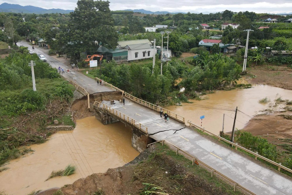
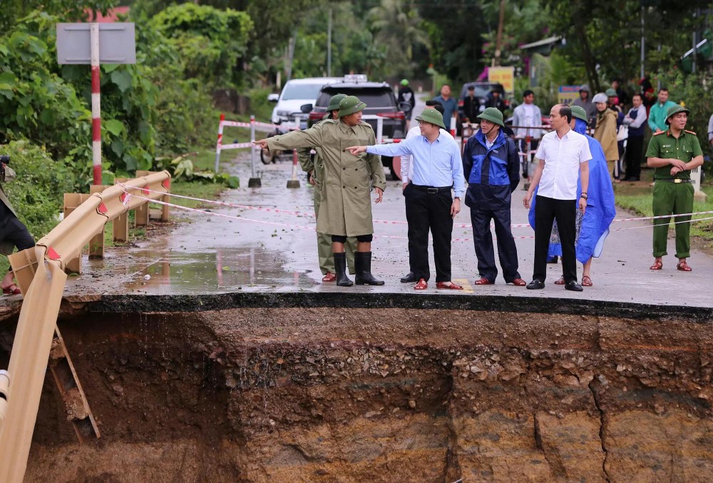
Notably, at around 3 a.m. on November 9, rising floodwaters caused the abutment of Bai Sim Bridge on the Nghi Son–Bai Tranh National Highway to collapse, bringing traffic through the area to a standstill.
Thanh Hoa provincial authorities have installed warning signs, deployed personnel to the site and instructed motorists to avoid the collapsed bridge.


Flash floods and landslides pose serious risks
According to the Thanh Hoa Provincial Hydro-Meteorological Station, a strong surge of cold air was expected to bring continued moderate to heavy rain, with locally very heavy downpours and thunderstorms, on November 9.
Rainfall in coastal lowland areas and the western and southwestern mountainous regions was forecast to range from 40 mm to 80 mm, with isolated areas receiving more than 100 mm. Other areas were expected to record 30mm to 60mm, with some locations exceeding 70mm.
Rainfall intensity could exceed 100mm within three hours in some areas.
The meteorological agency warned of potential inundation depths of 0.2 to 0.7 meters in the communes of Thanh Ky, Yen Tho, Nong Cong, Mau Lam, Xuan Binh and Thang Loc.
The risk of flash floods along rivers and small streams, as well as landslides in steep terrain, was assessed as very high.