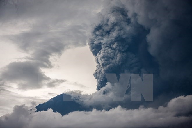
Local authorities said the high-risk area was 6km from the crater, a reduction of the previous warning of 10km last week.
Sutopo Purwo Nugroho, Head of Data, Information and Public Relation of Indonesian National Board for Disaster Management, warned that although the danger zone is reduced, geological activities inside the volcano remains strong.
More than 50,000 people in 12 high-risk localities are still staying in safe shelters. The I Gusti Ngurah Rai international airport still operates as usual since ashes from the volcano only affected some areas to the north and northeast.
After 50 years, Agung volcano resumed its activities in November 2017, making local authorities raise the alert status to the highest level. The I Gusti Ngurah Rai airport had to close for three days due to the volcano while another airport on nearby Lombok island also halted its operation for a while.
A series of eruptions at Mount Agung during 1963-1964 killed more than 1,600 people and injured hundreds.
Indonesia lies on the Pacific Ring of Fire where several tectonic plates meet and cause 90 percent of the world’s seismic activity. The country is currently home to nearly 130 active volcanoes.
In 2010, Mount Merapi on Java island, considered one of the most active and dangerous volcanoes in the world, erupted after rumbling since 2006, killing more than 300 people and forcing 280,000 to flee.
Mount Sinabung on Sumatra island, which is currently at its highest alert level, has been active since 2013. Source from Vietnamplus.


