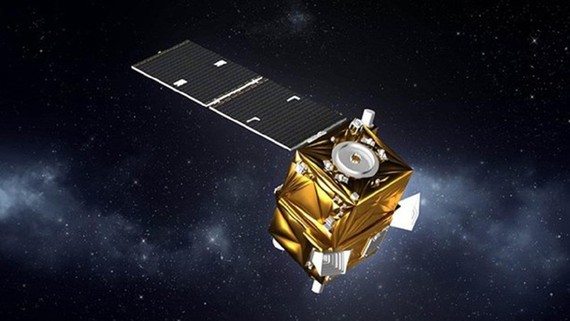
VNREDSat-1 is the first remote sensing satellite system of Vietnam to serve the tasks of monitoring and managing natural resources, conducting research for sustainable socio-economic development, and protecting the national sovereignty.
It was successfully launched into the orbit on May 7, 2013 and has fulfilled its missions of capturing valuable images and delivering them to the operation center in the past 9 years.
Working for nearly 4 years longer than expected, it has shown signs of serious technical faults related to the hardware that stores operation and control data at the end of 2021, it was ordered to temporarily stop current activities from November 9, 2021 to March 25, 2022.
After this successful repair, the satellite can now resume its regular work, signaling the capacity of Vietnamese scientists in the field. This maintenance has also provided precious experience to engineers operating the VNREDSat-1 system, while a large amount of money and time has been saved as the satellite can go back to normal soon.
Until now, VNREDSat-1 has captured 280 images, including 80 high-resolution ones, to timely answer the needs of remote sensing data.


