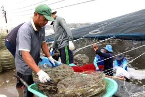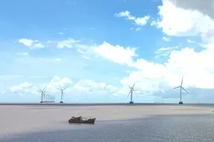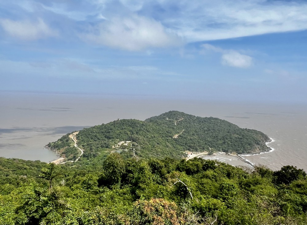
The delegation surveyed the coastal areas that are planned to be developed into the functional zones of Hon Khoai port, including the area from the mainland to the island, the Hon Khoai island cluster, and its surrounding marine area.
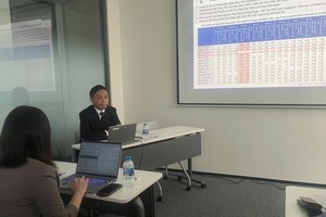
After the survey, the delegation hoped to have a direct working session with the People’s Committee of Ca Mau Province to discuss construction plans of items of the Hon Khoai port planning project, including the expansion and upgrading of the transportation system connecting road, waterway and sea routes based on existing transportation infrastructure to ensure cargo ships can navigate conveniently when arriving at Hon Khoai port and nearby seaports.
According to the general plan, Hon Khoai port will be developed into a large deep-water seaport in Vietnam's seaport system. The port will have facilities, such as a wave barrier system, a container terminal that can accommodate vessels carrying 250,000 tons, areas for tugboats, patrol boats, and services, a system of a 17-kilometer bridge connecting Hon Khoai island to the mainland, and another with a length of 42 kilometers to Nam Can Economic Zone. The total estimated investment capital is around US$2.5 billion.
Hon Khoai is a cluster of islands located 20 kilometers off the south-west of Nam Can, in the province of Ca Mau, including Hon Khoai, Hon Sao, Hon Doi Moi, Hon Da Le, and Hon Tuong covering an area of 4 square kilometers. Hon Khoai is a popular tourist destination for its beautiful natural landscapes
