 |
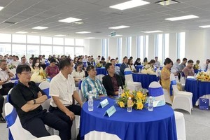
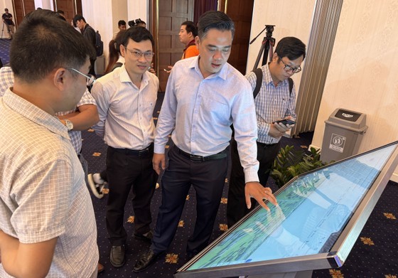
The municipal’s Information and Communications Department is introducing the city’s digital map at the Digital Transformation Week |
The first stage of database establishment has completed with 28 data layers from the four municipal departments of Transport (3 layers), Natural Resources and Environment (19 layers), Information and Communications (2 layers), Construction (1 layer), and Vietnam Electricity-HCMC (3 layers).
To develop this first-stage database, there was cooperation among the city’s departments of Information and Communications, Construction, Natural Resources and Environment, Planning and Architecture in order to correctly update useful information to serve both state management units and citizens. In the next stage, the Information and Communications Department is going to distribute accounts and give authority to related units for more updates via professional software, with high priority on medical and education data.
The map is updated via the application programming interface (API) or an official account provided to corresponding units.
Related organizations can actively upload their information through various methods of direct uploading via professional functions in the system, batch updates of addresses using a pre-formatted MS-Excel file. The data of Vietnam Electricity-HCMC, Saigon Water Corporation, the HCMC Education and Training Department, the HCMC Transport Department have been successfully uploaded by API.
Deputy Director of the Information and Communications Department Vo Thi Trung Trinh informed that this is a 1/2,000 and 1/5,000 map, so citizens cannot update information on it directly. Instead, when spotting imprecise data, they can send a report to the system administration unit for correction.
The city’s digital map at the address of www.bando.tphcm.gov.vn helps people to plan their route smartly and quickly, with a display of traffic options and the best way to take. It also provides real-time traffic statuses so that users can pinpoint their location, avoid congestion, and read information on the surrounding environment. Finally, the map has a function for the community to collect data from multiple sources of photos, audios, notes, and on-site data input.
With the aim to provide consistent data for all state departments and agencies on the website platform and other software systems (via API), it is necessary for HCMC to develop a common map. It takes much time and effort for this digital map, exploiting public and shared data from each related state unit, to replace other similar map platforms (Google map, Openstreet map…).
Thanks to this map, geographic information is available consistently for easy access through many smart devices. Through this platform, HCMC integrates spatial data and attributes of related units in the city, forming a shared database for other agencies’ application software.
“the Information and Communications Department has advised the HCMC People’s Committee to issue operation and exploitation regulations for the data in this common digital map. API connections are prioritized among state units with running professional systems to use, share, and form new layers for the management purposes. Following that is the launch of a storage system for this map citywide based on the common databases before sharing the data to any organizations with the exploitation needs in compliance with the approved regulations by the HCMC People’s Committee”, said Deputy Director Trinh.
The municipal’s Information and Communications Department hopes to popularize this digital map to the community and businesses in HCMC so that they can use it and give feedback for better exploitation experience in the future.
HCMC Digital Map is a common map platform for the whole city. It is expected to replace other map apps like Openstreet Map or Google map. There are various layers with different information about administrative structures, traffic, topography, satellite map.
Formal data are frequently updated onto this digital map, collected from state departments and agencies, all districts and Thu Duc City. Users can share their locations via this map on popular social networking apps such as Facebook, Zalo, Twitter, Telegram, as well as email and QR code.
